

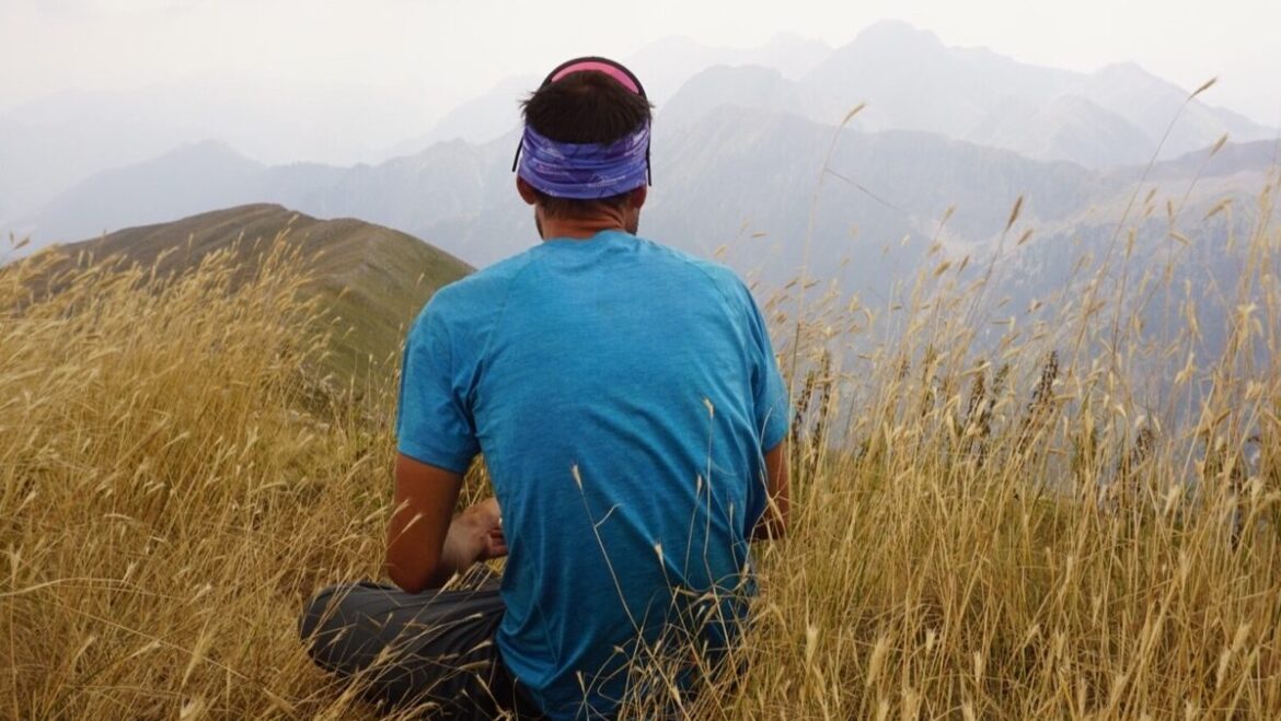
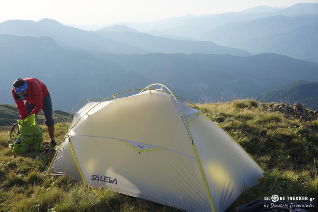
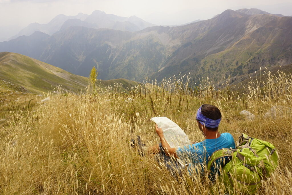
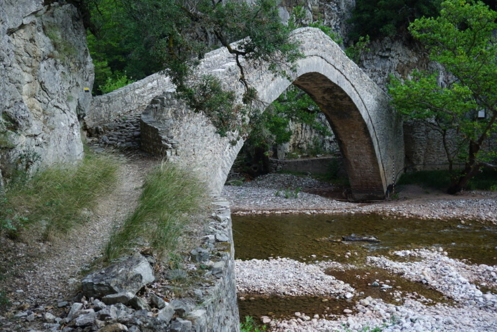
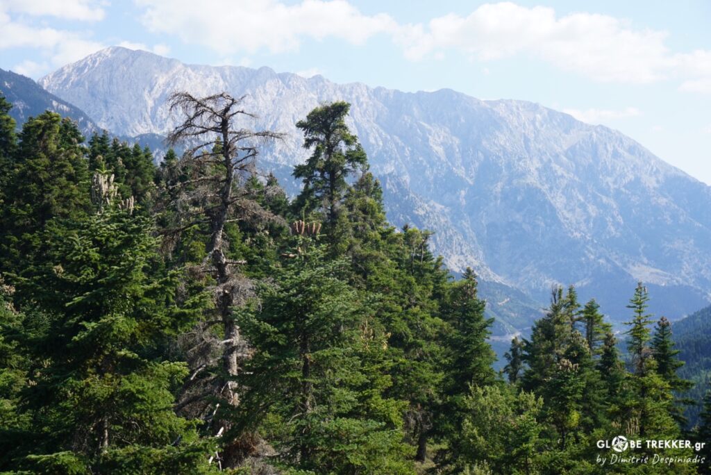
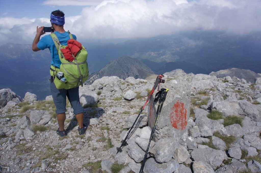
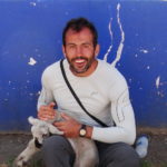
Dhelidimi, Agrafa mountains, September 2020.
Midday. A gentle breeze is keeping us cool here on the summit, while forcing the wild grass to move back and forth like the clouds above Agrafa’s mountainous skyline.
For most foreign visitors Greece equals sun, history and beaches but it’s actually one of the most mountainous countries of Europe. And… from where I’m standing right now I can see nothing but mountains. Layers of broken ridgelines separated by deep ravines. A place rugged and remote… beautiful for sure.
Silence dominates the atmosphere. The otherworldly silence experienced in nature that makes your ears numb and touches your soul !
“ Yeah, the long walk across the Pindus was totally worth it !” I keep telling to myself while admiring the view.
It’s the first time in the last 15 years that I do not travel abroad for an exploratory trek or a thru-hike in the great ranges and other remote natural wonders of the Globe.
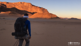
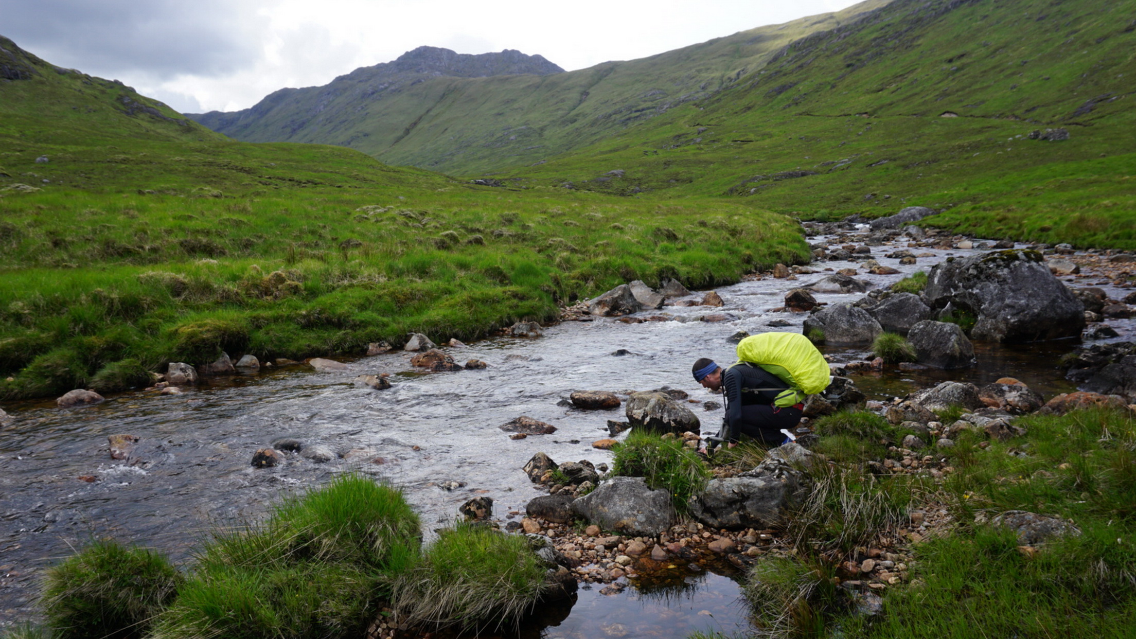
This year, due to the travel restrictions imposed after the COVID-19 outbreak, my good friend Argiris and I ( Iceland, Jordan, Scotland ) decided to walk the length of the Pindus (~500 km) – Greece’s most notable mountain range – from the Albanian frontier to the archaeological site of Delphi.
Geologically, Pindus is an extension of the Dinaric Alps, which dominate the western part of the Balkan Peninsula. It stretches in a NW-SE direction from the Coritsa plateau in SE Albania to the Gulf of Korinth.
The last days of August my mate came to my hometown and got off his bike for a while after spending nearly all summer touring the country.
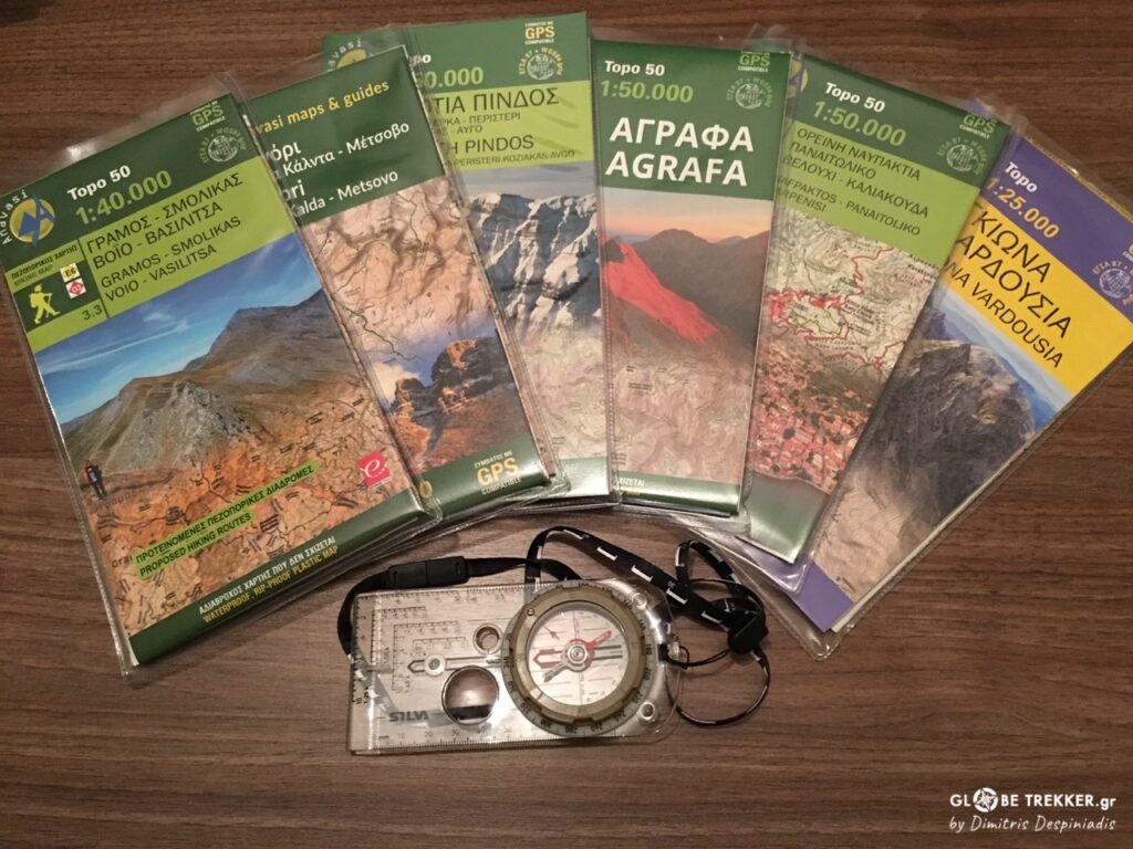
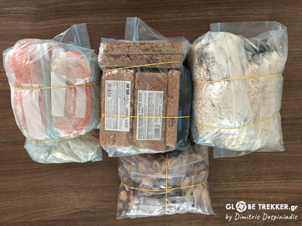
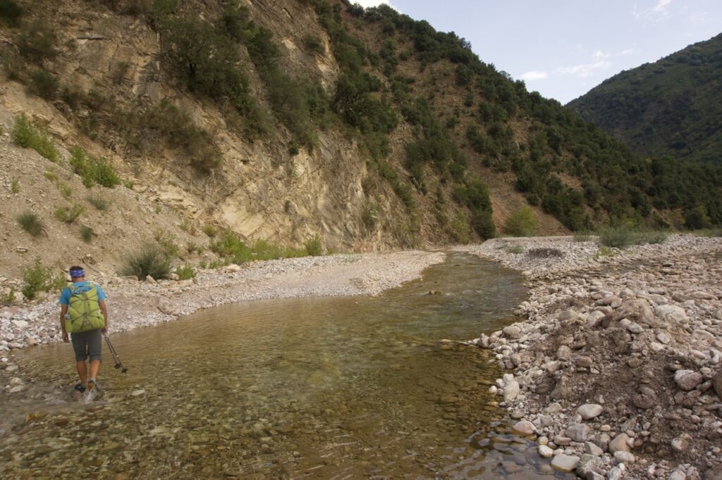
We bought the necessary Anavasi paper maps and their digital counterparts, mailed two boxes with food supplies to pick them during the journey and boarded on a bus heading to Nestorio, the closest village to the Albanian frontier and our “trailhead” served by public transport.
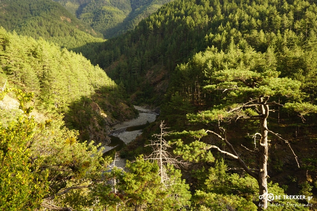
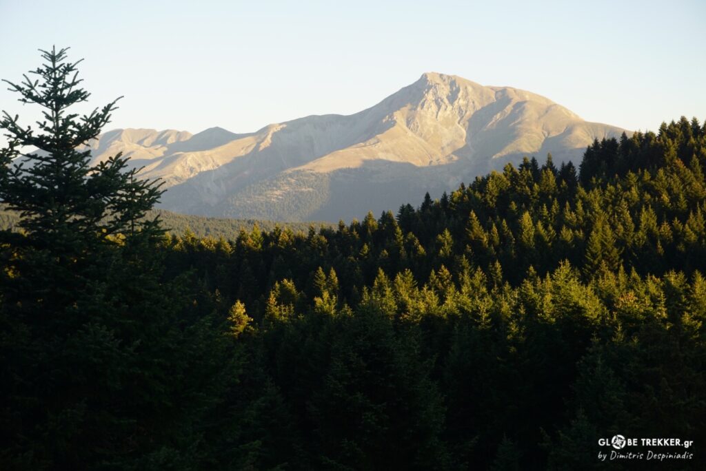
Northern Pindus
It was already afternoon when we started our long walk by ascending the gentle slopes of Grammos, the country’s 4th highest mountain that forms the natural border with Albania.
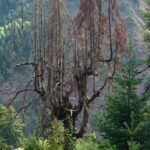
Despite its great ecological importance ( among others it’s the source of two of the country’s most important rivers ), Grammos is known to the general public as the final battleground of Greece’s Civil War, probably the worst period in the country’s modern history.
The weather was superb !
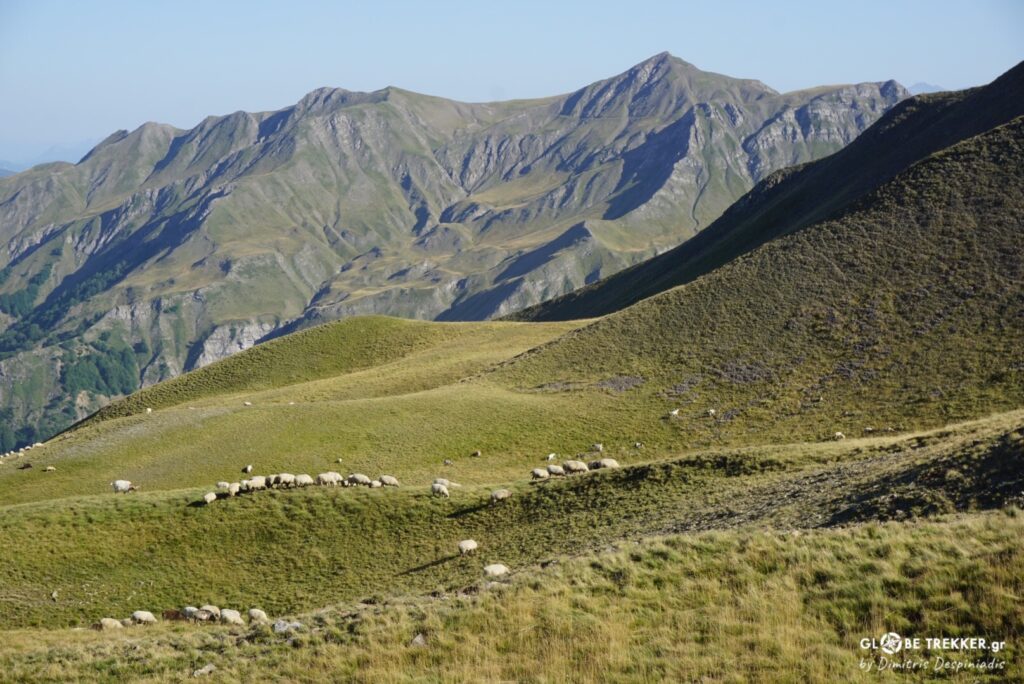
Flocks of sheep and cows were grazing at the green alpine pastures.
A middle aged “Cowboy” approached the two backpackers that were nearing his flock.
“It’s the 7th year in a row that I’m bringing them up here from the plains of Thesprotia.” he told us while twisting a tobacco cigarette.
For hundreds of years, during the second half of spring, the transhumant shepherds ( Vlachs, Sarakatsans ) are leading their flocks from the lowlands to the high mountain pastures of the Pindus in search of ideal grazing sites. At the end of October they return back to the lowlands for the winter.
This movement, until a few decades ago, was on foot and lasted 10, 15, 20 days, depending on the distance. Nowadays, the sheep are being transferred by trucks.
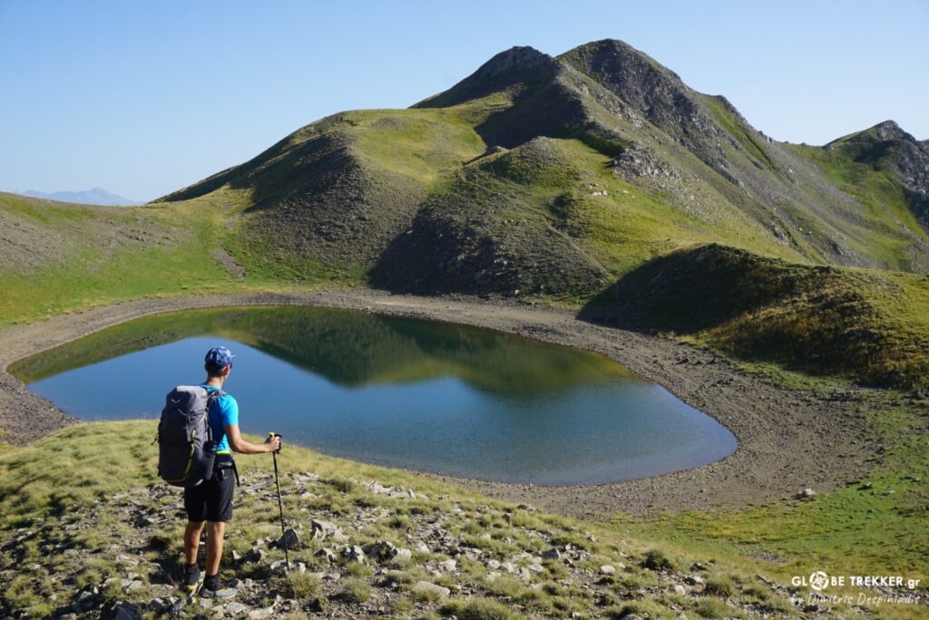
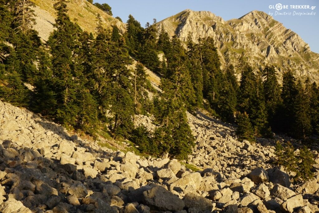
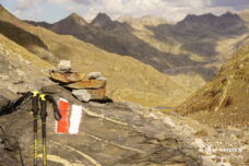
After Gistova, the “highest” among the few alpine tarns of the range, we followed the long ridgeline, enjoying the scenery that resembled the Scottish highlands.
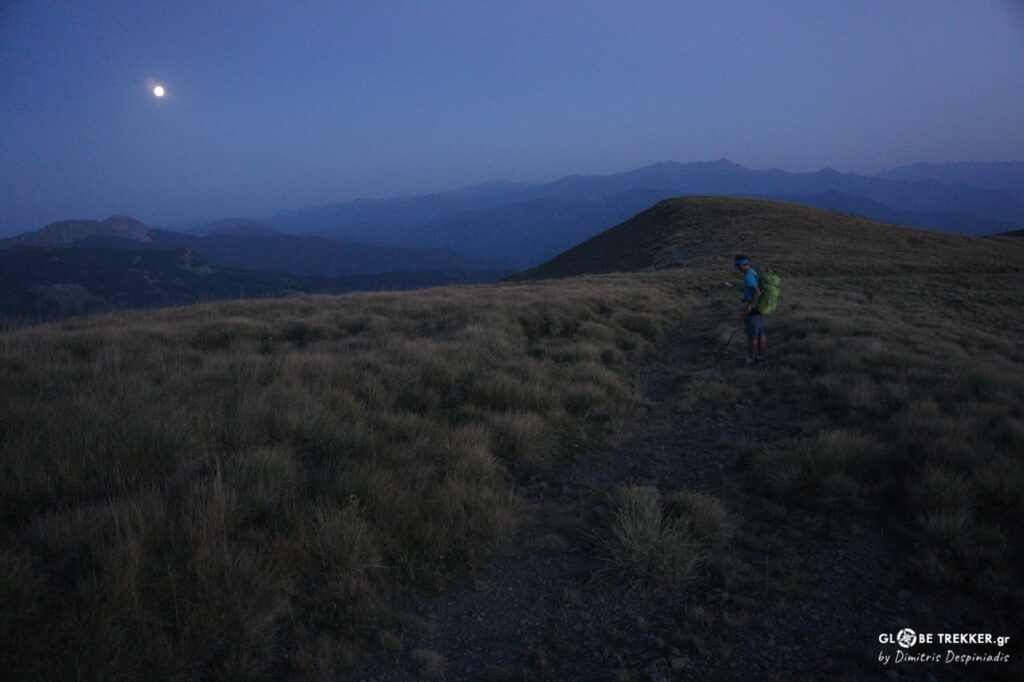
As the sun progressively settled, the golden light was giving an extra charm to the special geological formations of the mountain.
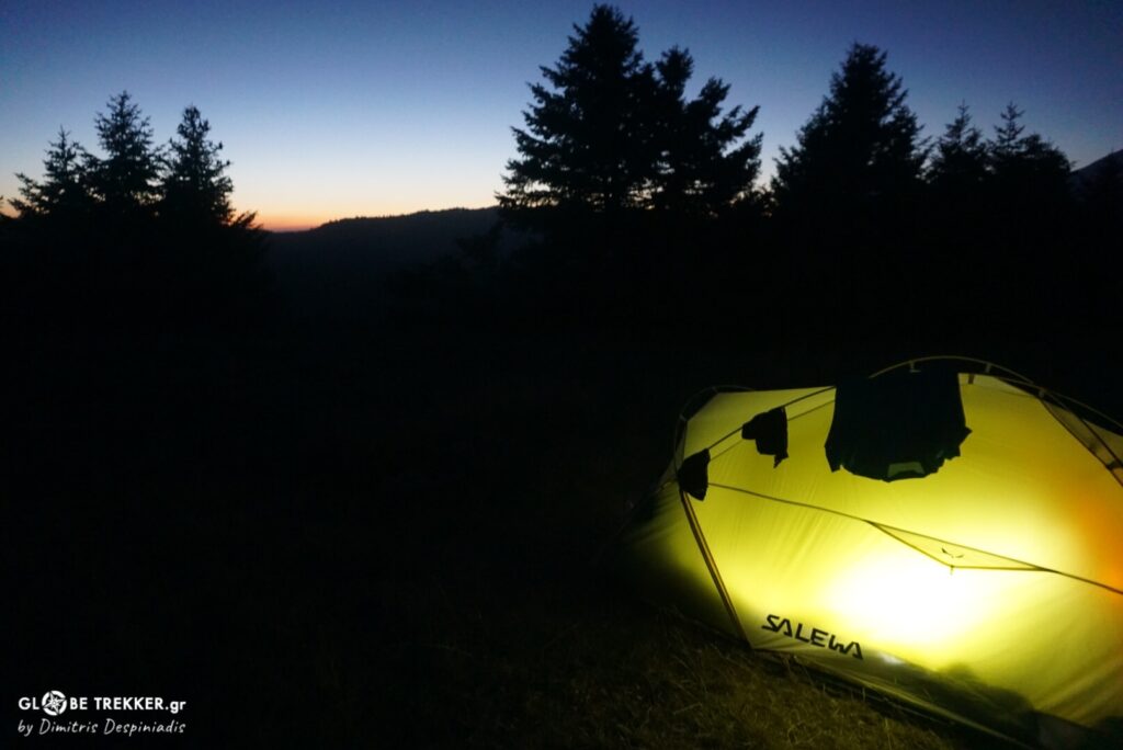
It was probably full moon and we couldn’t resist continuing along the ridge without using artificial light till we couldn’t see any more.
We set up camp near one of the mountain’s Civil War memorials and in the morning, as soon as we woke up, we approached it to have a look up close. It was in honor of the “winners”victims …
What a pity …
Decades after the end of a devastating war imposed by others, where brothers were fighting each other, each of the two sides still honors its victims separately!
From Aetomilitsa, Greece‘s “highest” village, in order to avoid the roads and due to the lack of paths to Lykorachi, we took the trip’s first taste of bushwhacking.
Argiris was setting the pace with his characteristic ease and speed in this challenging terrain. In the beech forests our progress was by far easier.
We fell in the Sarandaporos river basin with its huge riverbed and for the rest of the day followed the faint marks of the O3 trail to the south. We camped beneath the top of mount Tambouri, having a clear view of the Smolikas massif, the next day’s target.
Kerasovo
As we arrived early in this beautiful traditional village on the northwestern flanks of mount Smolikas, we longed for a double cup of coffee before the ascent. At the edge of the village, beside the church of Agia Paraskevi, there’s a tavern with a large courtyard. Mrs. Vasso, the owner who has been running the business for 40 years, was washing the dishes in the kitchen.
She told us how much things have changed since she was a girl, her state being a testimony of Greece’s decaying countryside.
“The village was a large one, the area’s largest (Kefalochori) with 2000 permanent residents. The place here was very crowded, especially during the summer. There were numerous times I was going out to take an order and I was feeling …quite dizzy! Nowadays, just a few families live here and most of them are elderly people. My children live elsewhere and next year, for the first time in 40 years, I will probably not open the store !”
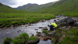
The day was hot, so we were hydrating at any available water source.
As we were ascending through the forest, I was telling Argyris about a quite different experience I had in the area a few years ago.
I told him that it was early winter. That the water levels of the region’s principal river ( Aoos ) had risen and snow had started covering the mountain slopes. That we were returning to our hometown from mount Nemertsika and the other 3 guys wanted to take a side trip to a village at the base of Smolikas in order to meet a friend. That we went there and entered his empty restaurant which had an ambience right from the ottoman era. That the appetizers were tasty and the tsipouro ( the local spirit ) even better … and way more … And that we got up and left … 24 hours later ( literally )!
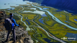
Lonely robolos ( Bosnian pines ), adorned the subalpine meadows with their presence. From Lyga Dragonlake, a habitat for alpine newts, we marched for Geros, the highest peak of Smolikas and all of Pindus.
The view was unobstructed with all the area’s big mountains ( Voio, Grammos, Nemertsika, Trapezitsa and Tymphi’s unparalleled ( for Greek standards ) north wall.
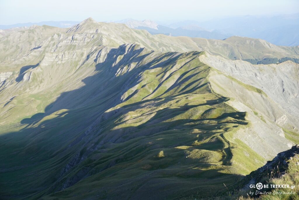
We continued eastwards, following the ridge, while admiring the clearly wilder NW horseshoe surrounding Vathilakkos. The landscape was kind of lunar, giving the impression that we were on another mountain.
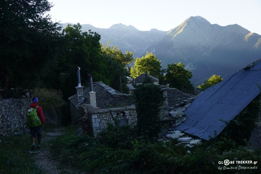
Traverses in the alpine gave us glimpses of Valia Kirna – the “devilish” valley for the Vlachs that stretches on the eastern face of the mountain – and led us to a saddle. From there, we descended back to the forest and finally to the famous Vlach village of Samarina!
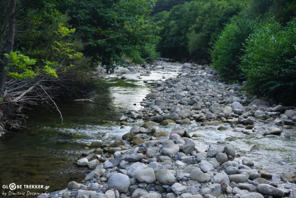
The next stretch was through lush forests surrounding waterways. Initially we followed the section of the international path E6 that connects the villages of Samarina, Distrato and Vovousa, a path that had been disappeared for decades by vegetation and was “rediscovered” 2 years ago by the effort of a few people.

Τhe development of the promising “Pindus Trail” !
These guys ( Terra Pindus ) are working methodically and with passion to establish the range’s long distance trail, the so-called “Pindus Trail”, by improving and extending the Pindos Way, the route inspired by the veteran British traveler and writer Tim Salmon, which we consulted for – a good part of – our own crossing.
The Pindus Trail is an attempt to link old paths and trails, which was the only linking network between the range’s isolated communities and the outside world until the middle of the previous century. When completed ( because it still necessitates … a lot of work ) it will introduce the hiker/ nature lover to the natural beauty of the Pindus mountains as well as the rich history and culture of the region, through 45 daily stages connecting mountain villages with creature comforts.
Its creators hope to “introduce” the Pindus to the hiking world, by spreading the word and most importantly making it more accessible to the general hiking public.
It’s an ambitious plan that I truly hope to be completed!
We followed the stream of Samarina and mount Gomara’s forested western slopes and entered Distrato, the largest village in the Aoos basin that was set on fire in October 1943, during the World War II. In Pindus nature is arguably the main player but each village has its own -usually hard -story.
Upon entering the village, we greeted an elderly woman who was taking care of her beautiful garden. With a smile in her face, she caught up with us .
“Wait. I would be pleased if you accepted a few tomatoes and an onion for the journey ! ”
We could not deny. It was from the heart. As for the tomatoes – long before we tasted them – we knew they would have a special taste …
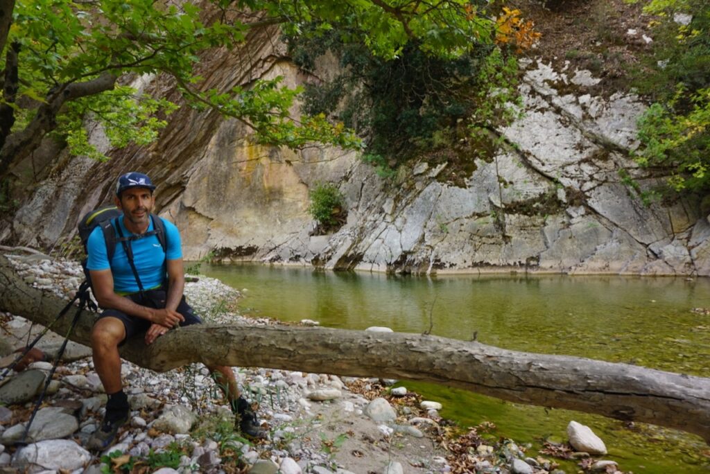
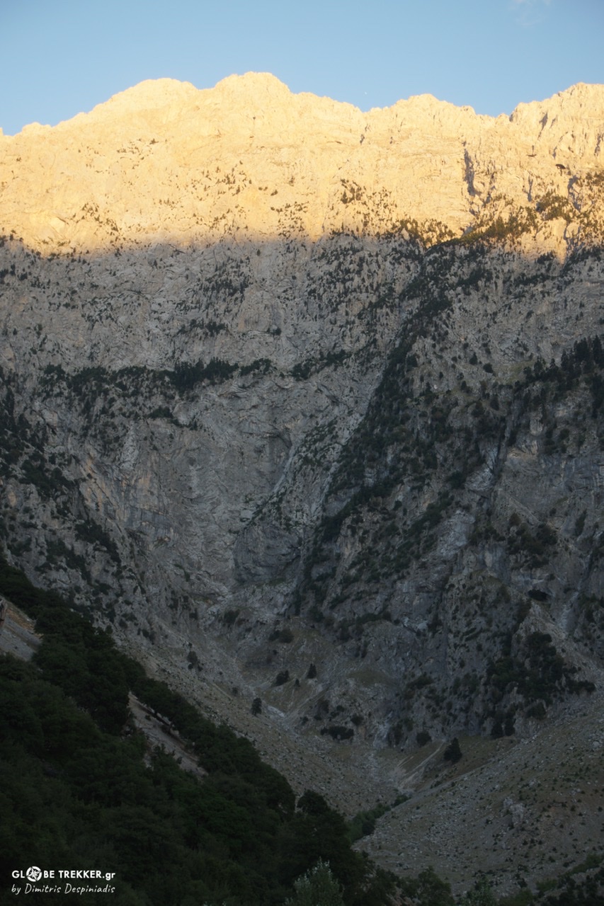
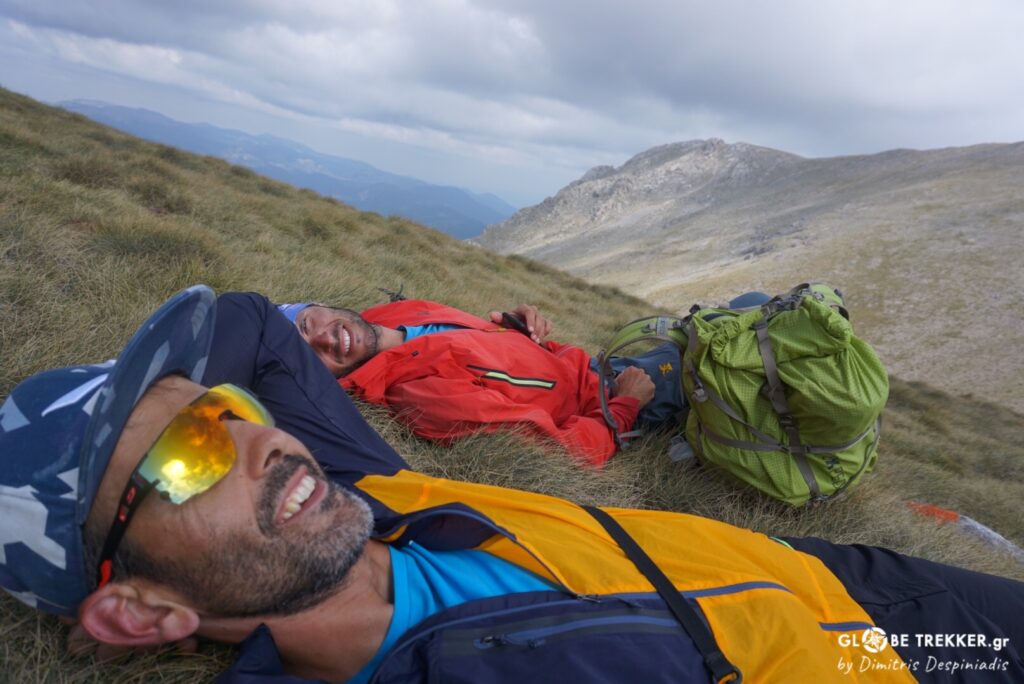
After Vovousa, we followed the Eastern Bank of the “young” Aoos river. We bivouacked on a balcony just out the heart of the Valia Calda ( Hot Valley ), one of the country’s principal protected areas with exceptional wildlife. The night was calm, the moon almost full and millions of stars dotted the sky! We laid back in silence, listening to the harmonious sounds of the river and the forest, far and away from the -often meaningless- detachments of modern life.
100% present in the moment !
Next was Arkoudorema ( bear stream) with its delicate clusters of black pines, beeches and robolos, the twin Flegga alpine tarns and Mavrovouni ( Black mountain). During this short section, from the confluence of the two rivers till the town of Metsovo, as nowhere else in our entire journey, the signage not only … existed but moreover was very dense, as our line followed another long-distance trail in the making, the Epirus Trail.
At noon, four days after the start, we were descending through the picturesque cobblestone streets of Metsovo towards its square. We received our mail drop with the food supplies for the next and longest stretch of our crossing (up to Karpenisi) and decided to spend the night there.
Central Pindus
We approached mount Peristeri ( Lakmos ) from the north.
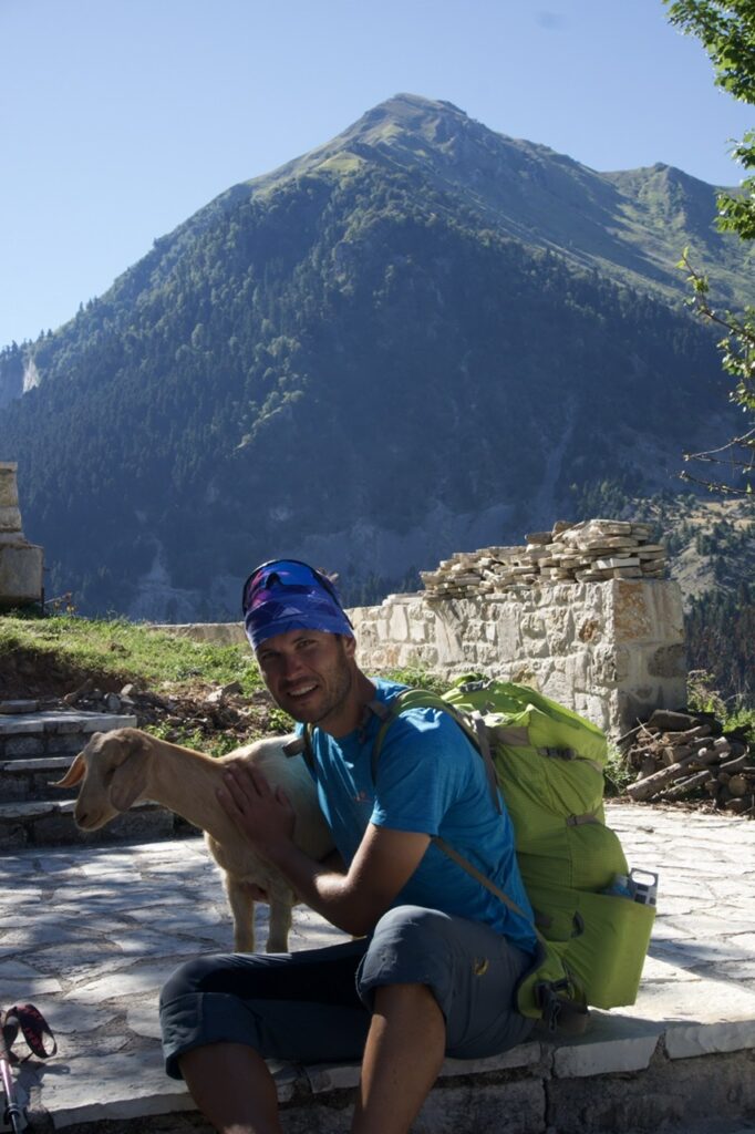
The characteristic absence of forests testifies the intense pressure that grazing puts on the mountain for centuries. On our way up we passed another flock of sheep and later near a sheepfold not far from the actual top, not paying much attention to the sheepdogs that surrounded us.
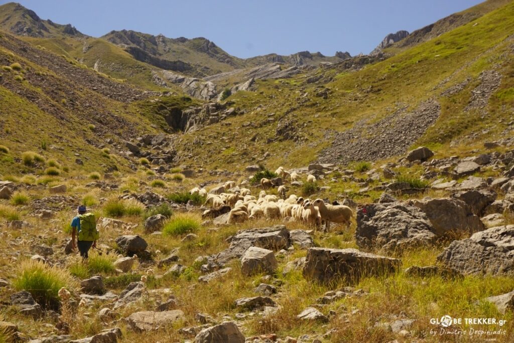
Our tactic of being moderately friendly with them and not aggressive, while showing that we are not afraid (did I confuse you? 😊) paid off on our several encounters with the guards of the flocks. I am not saying that the situation can not become tricky, but it is something that has never happened to me so far personally.
From the top (Tsoukarela), we admired the southern peaks of Peristeri, Kakarditsa and Tzoumerka in the background but also dirt roads that run through the alpine pastures.
A little bit further to the SE, in the fairytale scenery of Verliga basin, Aspropotamos river is “born”.
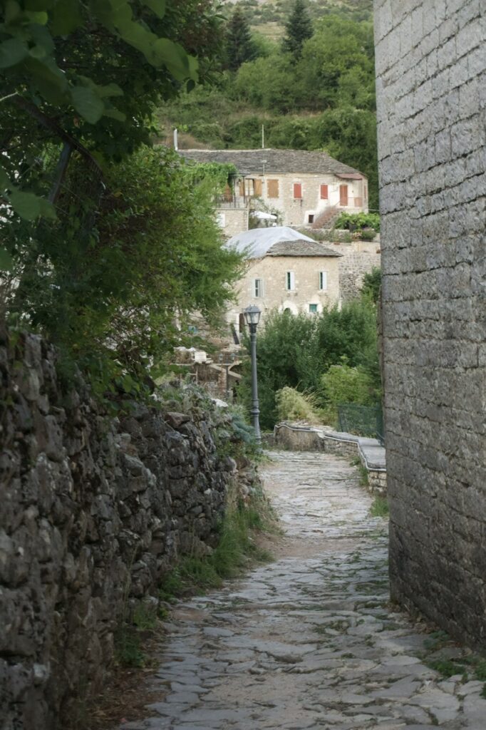
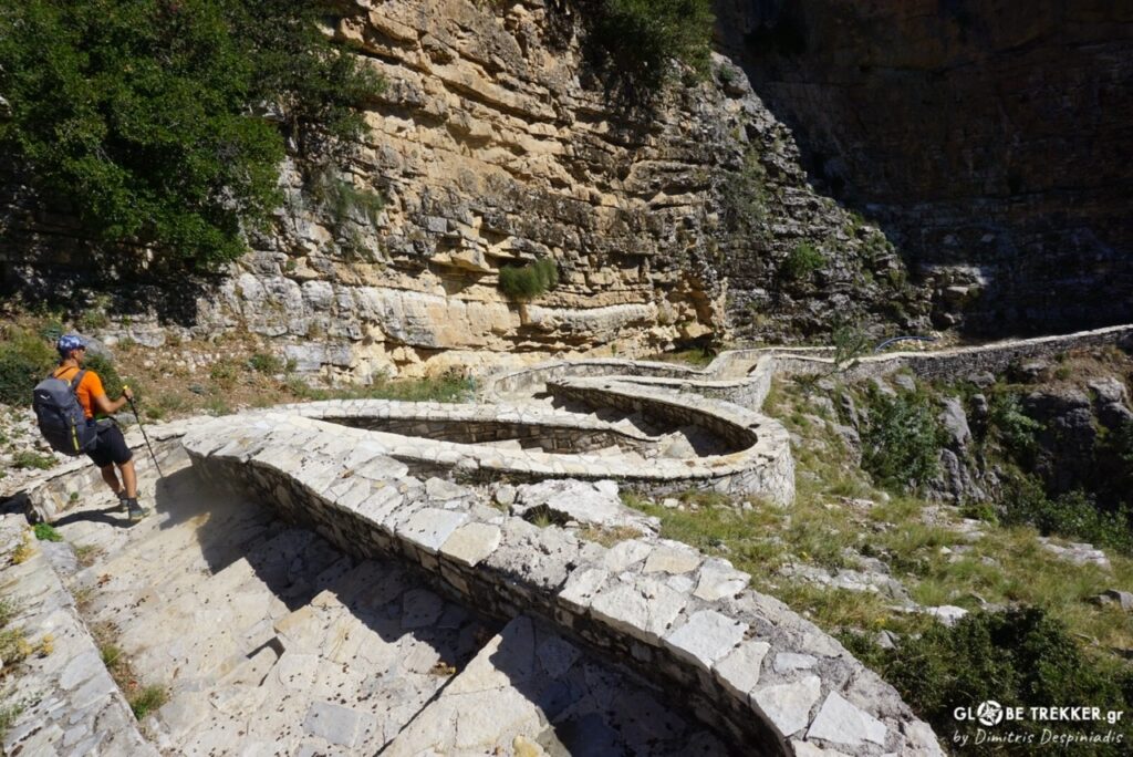
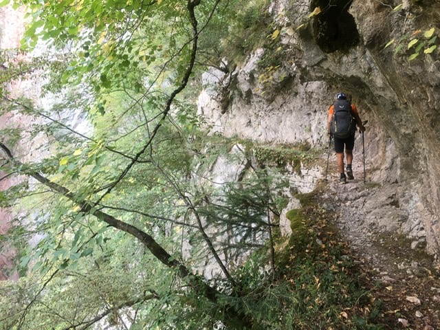
We traveled cross country in the alpine and continued below the tree line to the southern foothills of the mountain, marching again through the bushy vegetation. At some point we reached Syrrako and from there Kalarrytes by the beautiful cobblestone path that connects the two villages through the gorge of Chrousias.
These two opposite stone-built Vlach villages exude nobility and wealth. Famous tailors, merchants and silversmiths, made a name for themselves in the great markets of the Mediterranean during the 18th and 19th century. It’s no surprise that both are considered among the most picturesque villages of mountainous Greece.
We camped at dusk beyond Kalarrytes. The dinner in my pot contained Couscous, red lentils, dried mushrooms, spices and herbs.
The next day was warmer. We walked in the shade of the Karlibou gorge, took a break in the picturesque Vyliza monastery -situated at the edge of a cliff – and continued to the village of Matsouki through the nicely preserved cobbled path.
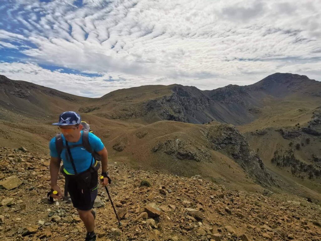
In this succession of mountains, mount Kakarditsa was next. Leaving the village and in order to avoid the road, we approached the upper reaches of the mountain through relatively loose terrain.
We followed the long ridge and approached the summit not from the northern knife edge ridge, but through a ramp after traversing the slope a little bit lower.
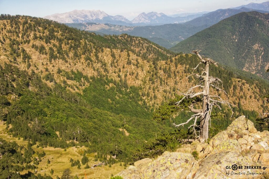
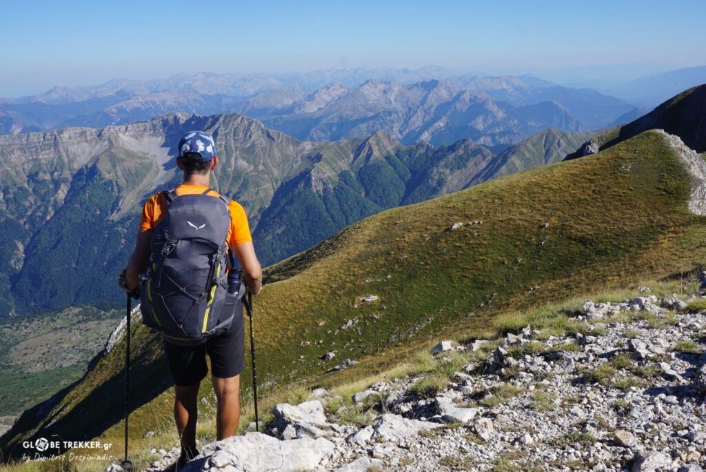
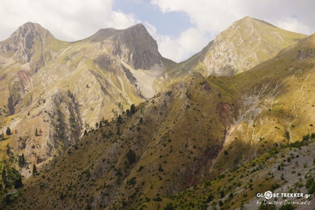
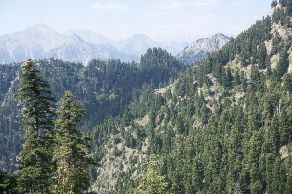
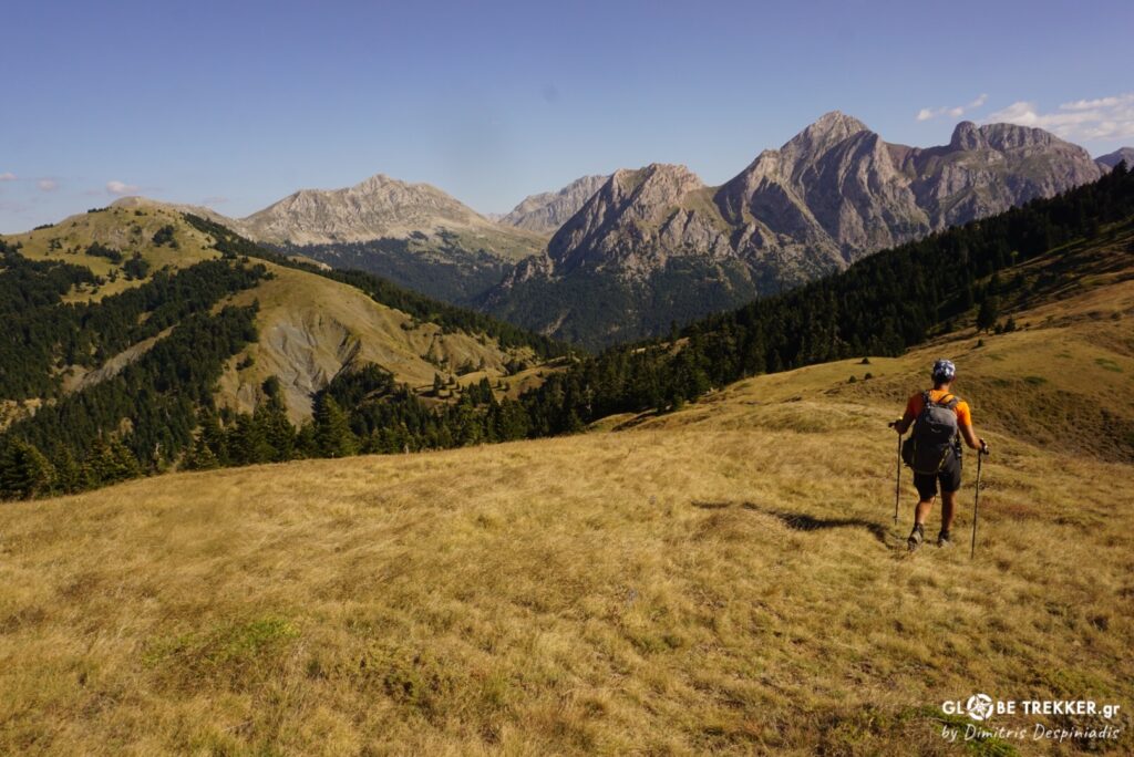
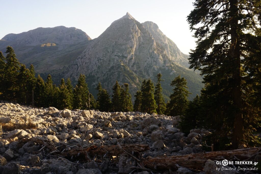
From the highest peak of central Pindus a maze of peaks was dominating the skyline in front of us. The Agrafa mountains.
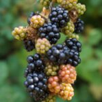
We fell to the east, choosing a safe line that avoided the big cliffs. Below the treeline, beautiful fir forests dotted the landscape till Gardiki. We found a nice spot next to a chapel with a fountain. The place was quiet, with a view of the surrounding mountains and there were delicious, juicy blackberries all around.
5-star hotel ..
Mesochora
It was 3:00 in the afternoon. Since morning we were moving parallel to the riverbed of Aspropotamos (Acheloos), passing through fertile riverside villages and we longed to stop for a beer, to cool our throats a bit. We found the only store that was open and sat in the shade, next to the casks. A man was chasing a dog that he probably did the job in his garden, cursing it along the way.
Argiris and I chatted.
For the sad condition of the village – formerly the biggest in the area, a proper Kefalochori – that has become a ghost village for the last … 30 years after the construction of the adjacent hydroelectric dam that just ruined the landscape and never operated.
For the modern way of life and the separation of man from nature.
For the CURRENT threats posed on nature and our APATHY for decisions taken on issues that concern us.
For the new “Environmental” bill, a real tombstone for the Greek countryside, which promotes the reckless expansion of industrial renewable energy sources (mainly wind turbines ), as well as mining activities and hydrocarbon extraction in areas of natural beauty throughout the country, even in pristine areas protected by international treaties (Natura 2000 network sites, Ramsar Convention etc.).
For the remarkable ingenuity to attribute environmental crimes such as the drying of lakes, deforestation, leveling of mountains with the term … “Green Energy ” and the additional degradation through these practices of landscape aesthetics, quality of life of the local people and the cultural identity of each place.
But how to convince the general public and especially those living in the big cities – who have soaked from their childhood the idea that the natural world is an endless resource to be exploited – the IMPORTANCE of wild lands existence and the necessity to preserve and expand them?
The responsibility for protection rises mainly from emotion. How can someone feel it for something he doesn’t know, from which he has no experiences? Then all these worries seem at least… exorbitant and these virgin areas… “undeveloped “.
Nature finds a way to heal its wounds, to self-regulate! ALWAYS !
And for sure it will. But time passes a way more slowly for nature than our short ephemeral passage from the Earth…
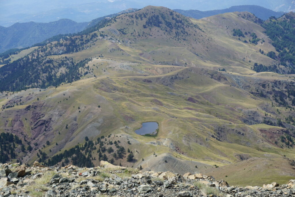
Agrafa mountains
“Where are you guys heading?” An old man with an appetite for a chat asked us in a small village in Argithea province.
“To Kali Komi… From then we’ll see!”
“My sister-in-law lives there!”
“We’ll give her greetings!”
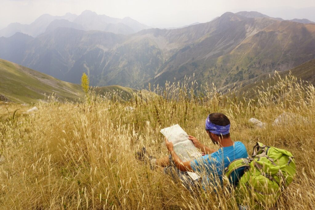
If you take a topographic map in your hands and get familiar with it by studying it carefully, you will notice that – apart from anything made by humans (roads, paths, bridges, etc.) – the landscape itself offers natural travel lines such as ridges, riverbeds, valleys, couloirs, lines that the traveler can follow under certain conditions.
We followed such a line after Petrota village through the bed of Leskovotiko and Koumbourianitiko streams on our way to the heart of the Agrafa mountains.
It was early September and after many days of zero precipitation, the water level was very shallow and the sensation of dipping our feet in the stream for hours was more than pleasant. We camped at a beautiful spot amid tall trees, at the base of the rocky hillside that on its top nestles the Spilia Monastery.
Leontito
At the entrance of the village, a bunch of kids was looking curiously the two sun-beaten backpackers whose eyes were detached by the mountains! But how could not as the panorama of the peaks Dhelidimi, Soufli and Salagianni was the most beautiful image of the trip. Their grandmother greeted us.
“Do they like it here?” I asked her.
“The hell they do! It’s paradise for them. They have spent all summer here but… that’s it for now. On Monday we’ll be heading back to the city of Larisa. It’s the beginning of the new school year!”
In the excellent Anavasi map of Agrafa, two lines approach the Dhelidimi pass. We chose the most direct (A19), the one avoiding the dirt road, which starts from the wonderful shady village square with the huge 900-year old plane tree.
The signage and trail condition was excellent as far as the ravine but higher up it disappeared. We passed through the ruins of an abandoned settlement in the forest.
Above the tree line the view was even more interesting.
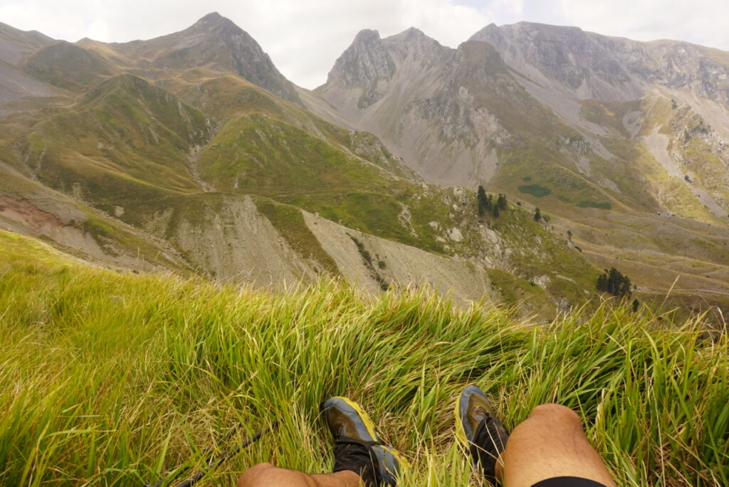
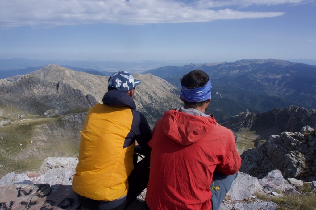
We reached the pass and then took the short climb to the top, the highest of Evrytanian Agrafa.
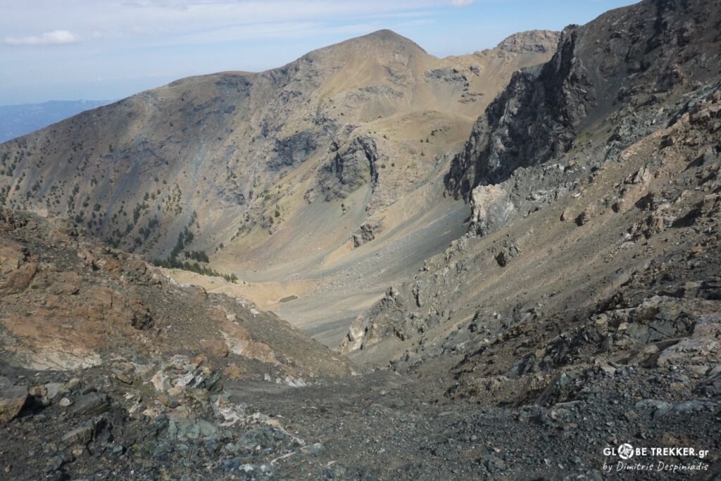
Agrafa ( meaning Unwritten ) mountains are – without a doubt – the definition of complex topography in Greece. A maze of peaks and ridges, deep ravines, rivers, thick forests and alpine plateaus. A place rugged and inaccessible, took its name as it was excluded from the Ottoman Empire’s tax lists because the effort and risk of travel to collect the tax was considered worthless.
In this place, apart from wildlife, man tried (and still tries) to settle. From Dhelidimi pass, hikers and mountaineers were not the only ones that passed through as nowadays, but it was a passage between two worlds for shepherds, villagers, merchants, troops, travelers.
These two peaks in particular took the names of shepherds from the area. Dhelidimos had his primitive lodge here whilst the high pastures of the nearby mountain were the grazing ground for the flocks of the Salagianni family.
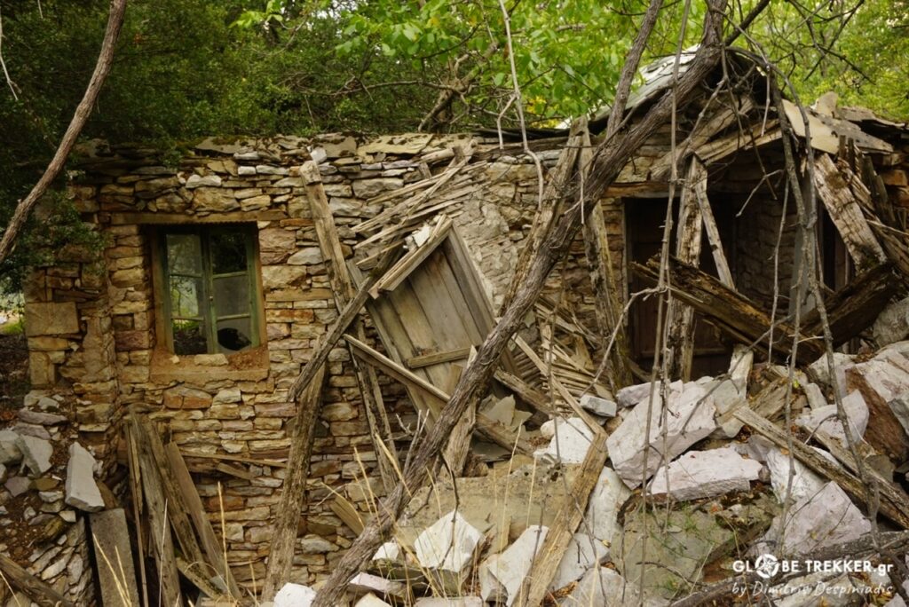
We started descending, by traversing initially the upper slopes and fell steeply into the abandoned settlement of Sfri. In this isolated place, on a tiny patch of level ground above the cliffs, a few families were living year round. At the same place and even deeper in the Asprorema ravine, guerrilla fighters had spent the winter of 1949.
We passed by the last remaining house of the tiny hamlet Asporema. Locked. There used to be a school there. I couldn’t help but wonder…What was life like for these people back then, how many lived there, what happened to them, did they stay in the region, did they move to big cities, to foreign countries …?
It is impossible not to travel back in time … in those days when people lived in harmony with nature in this secluded place that reminded me so much of the tiny mountain communities of the Himalayas and the Andes. It is not only the natural beauty that defines a place as special. It’s also the atmosphere … and Agrafa has plenty of it!
Of course, despite how charming their way of life may seem to some of us travelers ( passers-by ), it was extremely difficult! A daily struggle …
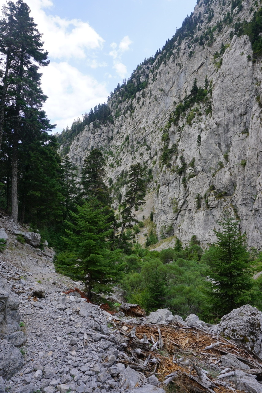
A WONDERFUL path, built with fine craftsmanship and a lot of effort, where even the rock has been carved in places where the gorge narrows and deepens impressively above Asprorema ravine, led us to Epiniana.
It was already dusk when we arrived at the village and ate… more than a lot at the Panorama hostel, where we spent the night. It was the second and last night on this trip that we stayed in a hostel.
The next morning we took the path to Anifora ( meaning Uphill ) by going … downhill.
And we kept going.
Varvariada… Selo … Kerasochori … Nea Viniani.
From Karpenisi, the capital of the prefecture of Euritania, we received the second mail drop with our food supplies, rested for a few hours and in the afternoon we moved on towards Roumeli, the last and shortest stretch of our traverse, having constantly Mount Velouchi in our field of vision.
We camped at Kokkalia, a clearing surrounded by dense fir forests, where there is a monument ( an obelisk ) in memory of the fallen Aetolians who fought in the battle against the Galatian invaders back in 279 BC.
Roumeli
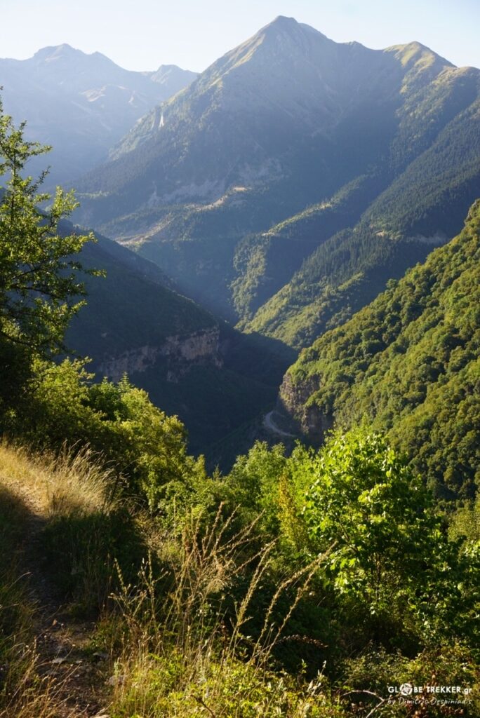
We proceeded on high ground for many kilometers, approaching mount Vardousia from the northwest through the smooth and lengthy ridgeline of mount Oxia ( meaning beech), a mountain named after the deciduous tree that can be found on its northern slopes and whose forms its southernmost limit in Greece.
Mount Vardousia is undoubtedly one of the most beautiful Greek mountains with a wild alpine scenery and extensive green meadows in the alpine and subalpine zone.
We camped next to an abandoned sheepfold and washed ourselves well in the adjacent watering can from the dust.
The next morning, sheepdogs accompanied us for a while from the meadows on our way up to Korakas, the mountain’s highest peak.
It happened to be Sunday and for the first time since the beginning on mount Grammos we saw hikers and in fact quite many. In the approximately 400km that had passed we had seen just 2 campers at the Flegga lakes.
We moved on to mount Giona, the other big mountain of Roumeli and Greece’s 5th highest. We entered the riverbed of Mornos and followed it to the village of Sykia.
While setting up camp close to the village, the golden light was still bathing the upper part of the huge headwall of Plaka, the country’s premier big wall playground.
Early in the morning we followed the Lazorema stream and from a pass we reached Vathia Lakka, where wild horses were playing.

After Pyramid, the last summit of this crossing, and descended through the spectacular Rekka ravine.
Olive grove of Amfissa
Beyond the southern foothills of Giona and the entire Pindus, surrounded by a sea of olive trees ( more than 1.200.000 ), we walk lightly towards Delphi.
We talk about the beauties that we were lucky enough to see up close, the precious moments in the mountains that are better than gold, but also for the absence in this journey of objective difficulties and the unexpected, necessary ingredients of a true adventure …
We are discussing about new plans, that we are looking forward to experience in the world’s wild lands.
“What did you like the most, dude?” I ask Argyris.
“The Eastern face of Smolikas, the crossing of Kakarditsa, the course along the rivers, mount Vardousia… You?”
“The Pass at Agrafa, the heart … of the heart of Greece’s mountains!”
In order to get to know a place in depth you have to spend a lot of time there, to learn its history, to communicate with its people.
And just 15 days for the traverse of the whole of Pindus, I think that were quite a few.
Someday I will probably return. Other crossing line, other conditions, other company (;), other perspective (;) … other experience!