

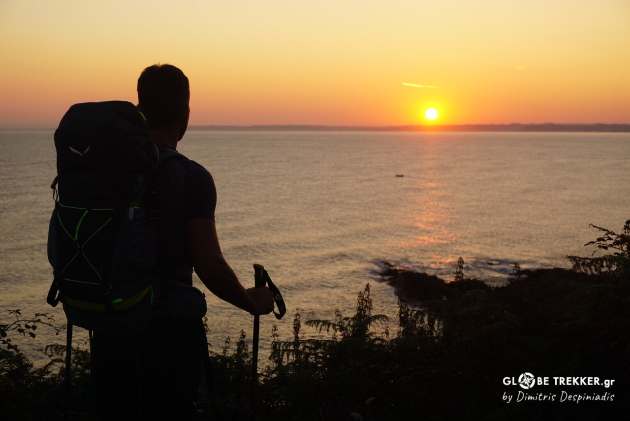
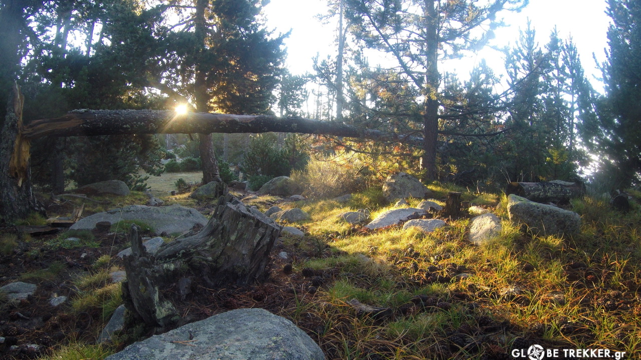
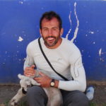
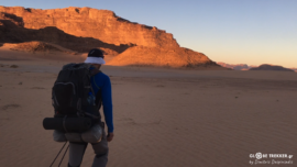
Somewhere in the High Pyrenees
The night was cold and still -just like the waters of the nearby lake- and the sky above dotted with millions of stars. I’ve already been awake for an hour or so,observing through my tent’s halfway open rainfly, my “window” to our Galaxy. I’m surrounded by a cirque’s granite walls somewhere in the High Pyrenees, the place I chose to spend the night.
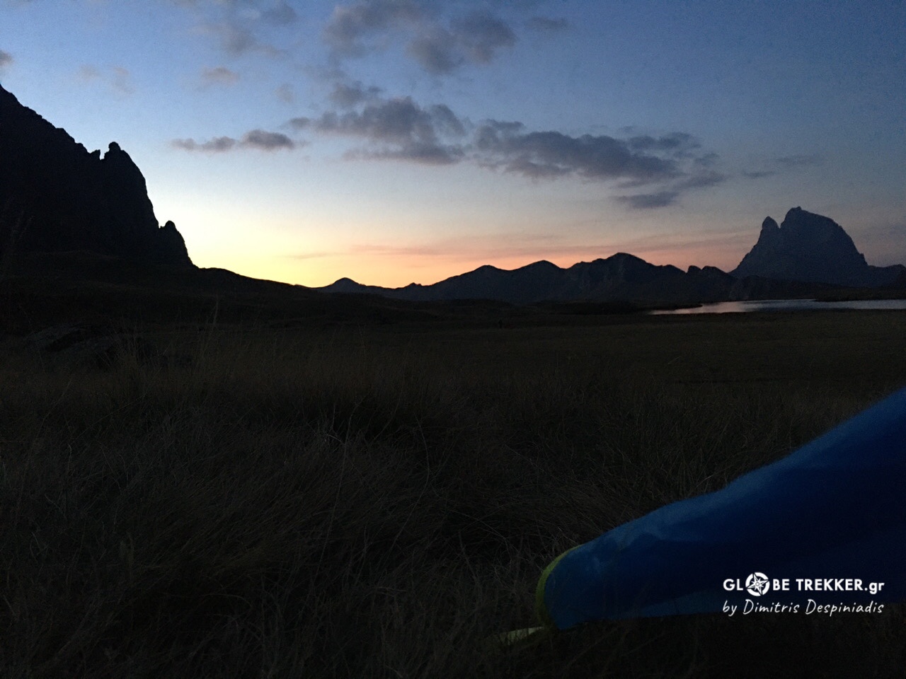
I missed nothing more than this during the quarantine. Spending days and nights out there, exposing myself to the elements, the open skies, reconnecting for considerable time with the natural world.
Silence!
The coldest hour, just before the transition, I get up. I undress from my warm and dry clothes that I reserve only for sleep and put back on the dump and dusty, the ones I use during the day.
I pack my stuff into my backpack, I break down camp and sit on the wet alpine grass for the unfolding miracle.
Slowly, but steadily, the silhouettes of the mountains, darker than the blackness of the night sky, get identifiable shapes. The color of the sky turns from pitch black into navy blue.. lilac… purple and finally golden.
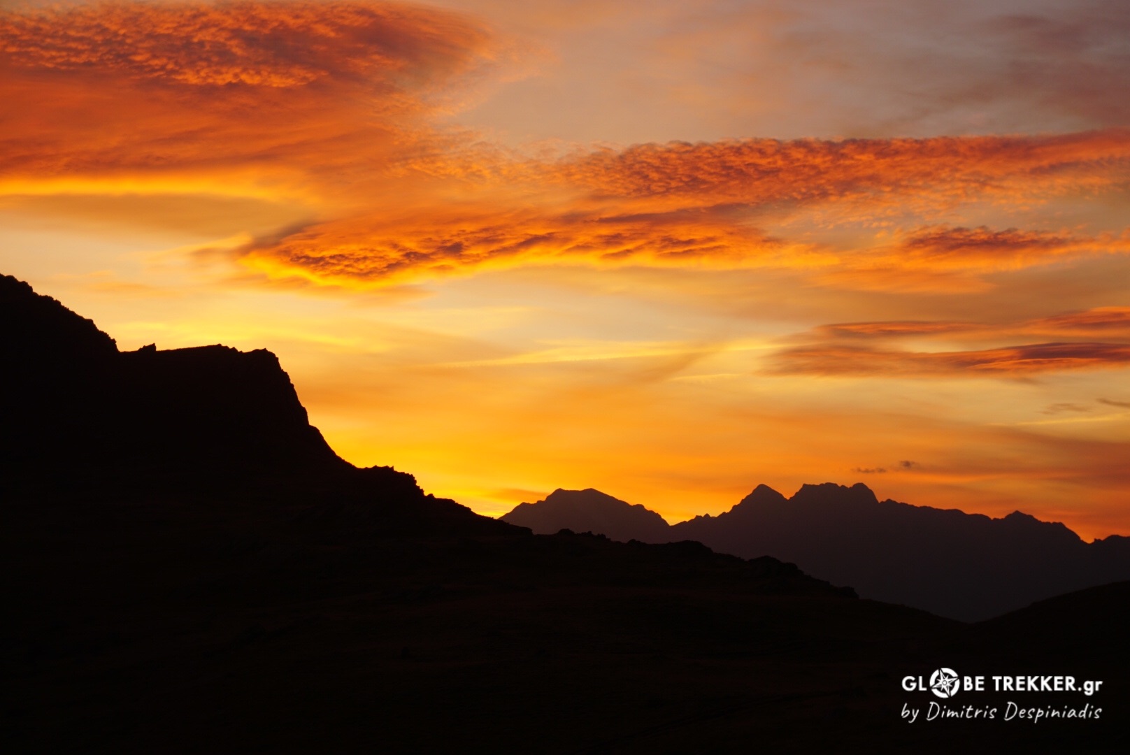
I take a deep breath, taking it all in. I stand up, put on my backpack, grab my trekking poles and start-with an empty stomach but full- towards the newborn sun,the rest of the range and the Mediterranean coast…
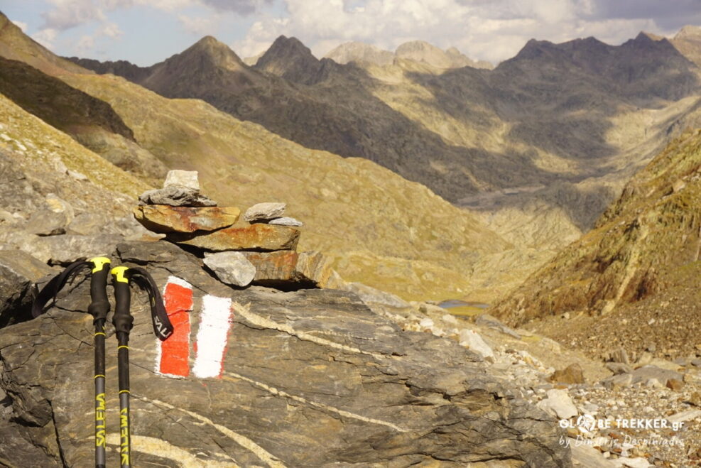
The Pyrenees and the “GR 11” !
The Pyrenees are a mountain range forming a wall between the Iberian peninsula and the rest of continental Europe. It stretches for ~500km from the Bay of Biscay (Atlantic) to the Mediterranean Sea.
Many of its peaks rise above 3000 m, forming a geographical feature of great symbolic and historical significance.
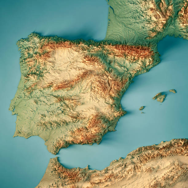
3D Render of a Topographic Map of Spain. @istockphoto.com
The “GR 11”, also known as “La Senda Pirenaica” is a long distance footpath that traverses the entire Pyrenees from the Spanish side of the border (and Andorra) through scenic, diverse and often wild landscapes, including 2 National Parks and 6 Natural Parks.
It’s ~820 km long with 47.000 m of elevation gain and is divided in 43 daily stages (etapas).
In comparison to its older and more popular French counterpart (GR10), the GR11 is a little bit shorter but crosses higher ground (13 instead of 1 passes above 2500m) and far wilder terrain.
The plan
I had in my disposal way less (nearly half) than the aforementioned days but I was confident that I could live the experience without rushing too much.
For that reason, it would be good to travel even more lightweight than usual. I personally consider wild camping as a column of the backpacking experience and I was not willing to sleep indoors in order to save weight. After all, my equipment is both exceptionally reliable and lightweight.
On the other hand, I decided, after quite a few unsupported trips, to go stove-less and take advantage of the many huts and villages along the route in order to eat and resupply on a daily basis.
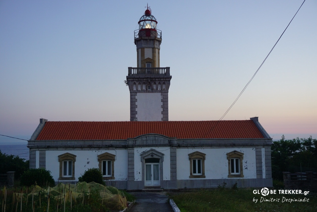
Cabo Higuer, Basque Country
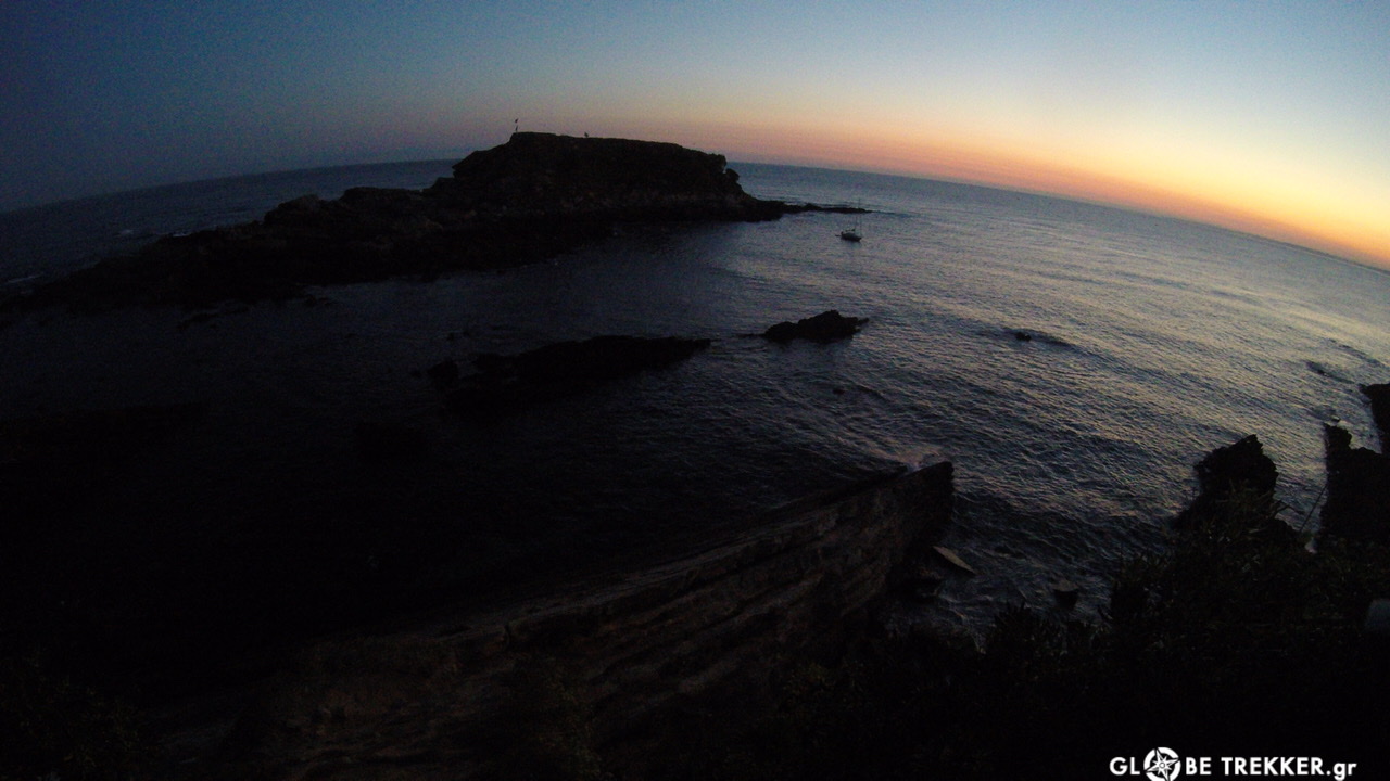
The last day of the summer, exactly 1 year after the start of my previous long walk, I stood next to the Cape Higuer lighthouse well before sunrise. I cautiously descended the rocks in the dark and dipped my hands into the salty waters of the Cantabrian Sea. This time I was alone and quite excited for another one long walk in the mountains.
West (Atlantic) Pyrenees
As the sun began its journey on the horizon, I left behind the little harbors of Irun and Hondarribia and started crossing the lush green hills of the Basque Country and Navarra.
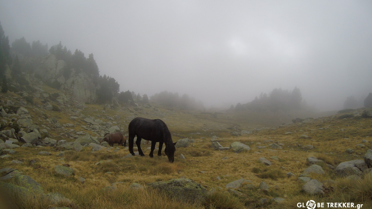
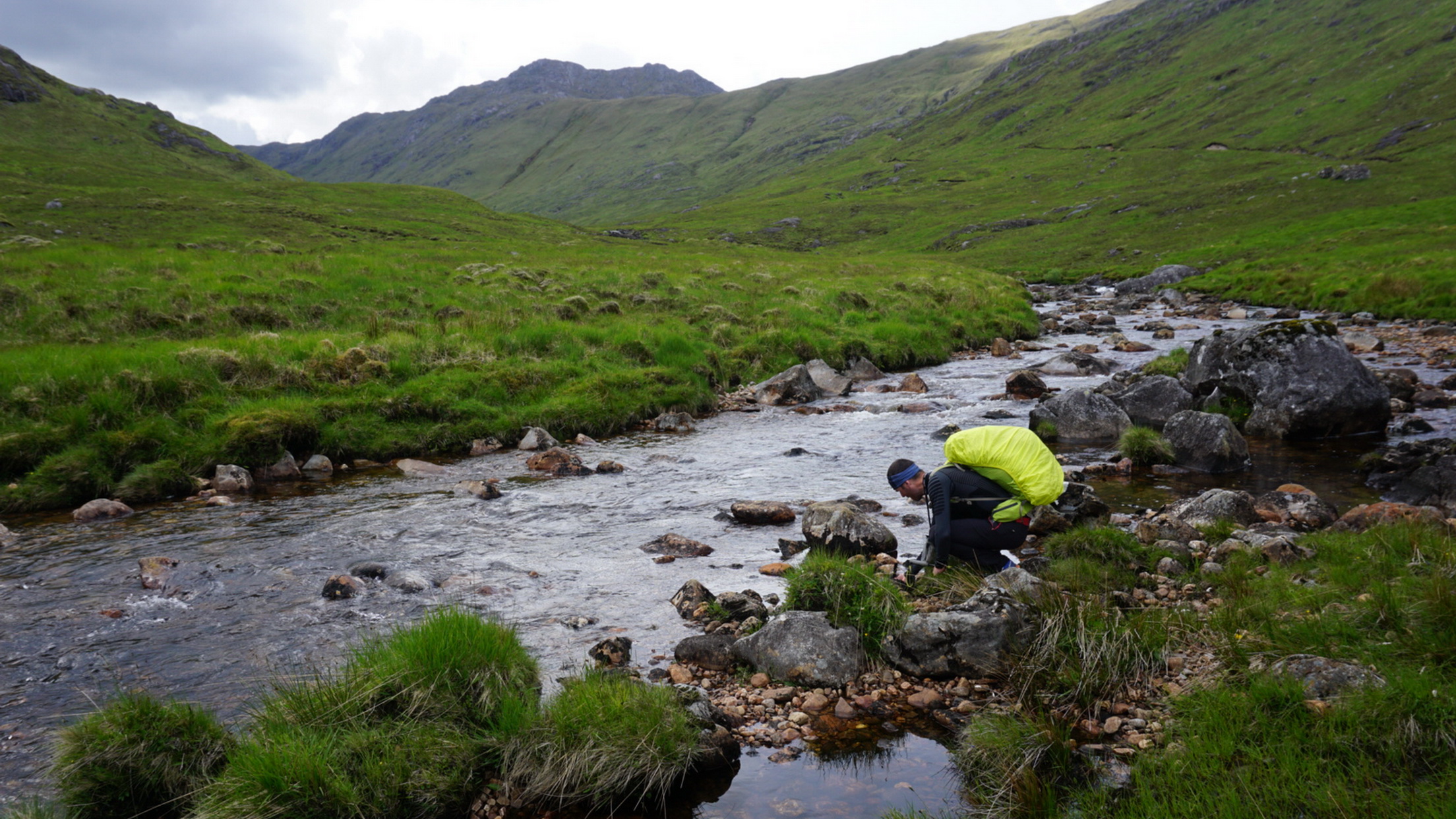
The first 4 days the terrain was easy, the kilometers covered ~42/day and the villages charming. Rain was present at regular intervals as the weather is mainly influenced by the Atlantic. Ponies, cows and sheep were grazing along the green hills.
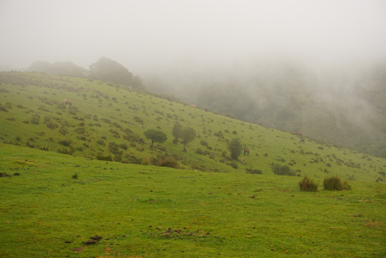
The places I wild camped were nice too. The first one with a view, the second beside a stream, the third on a shoulder with tall grass after a thunderstorm.
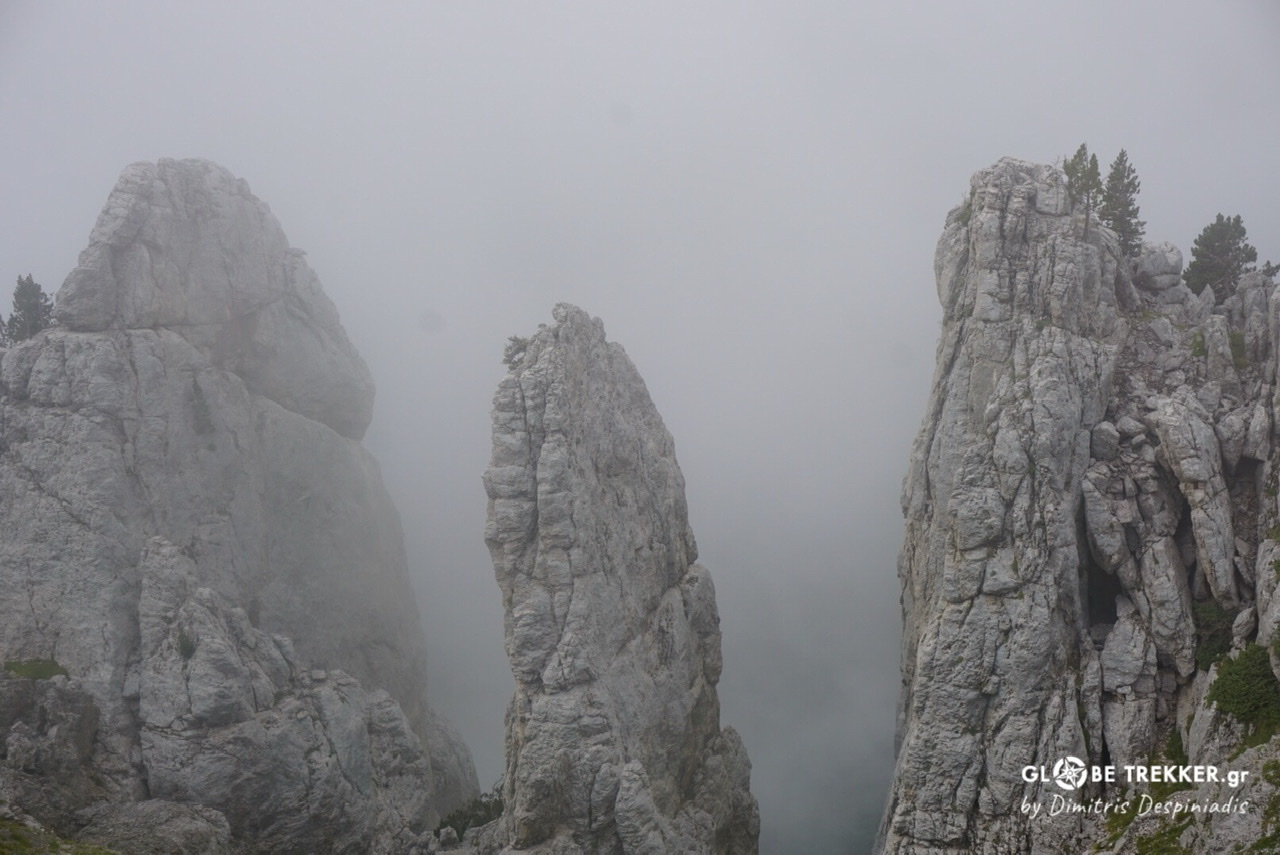
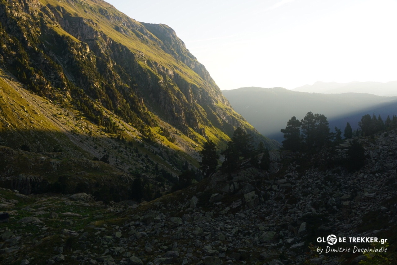
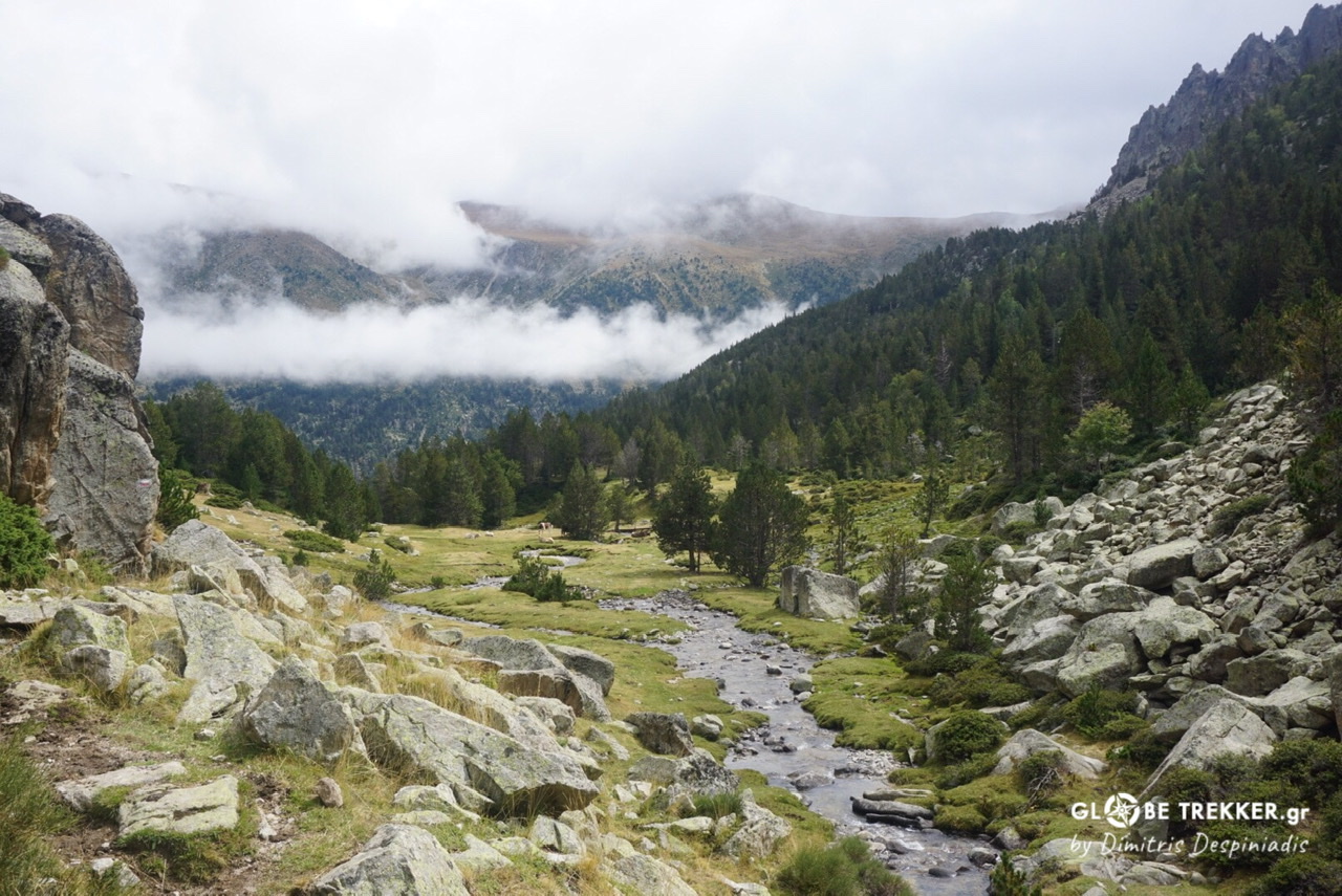
Central (High) Pyrenees
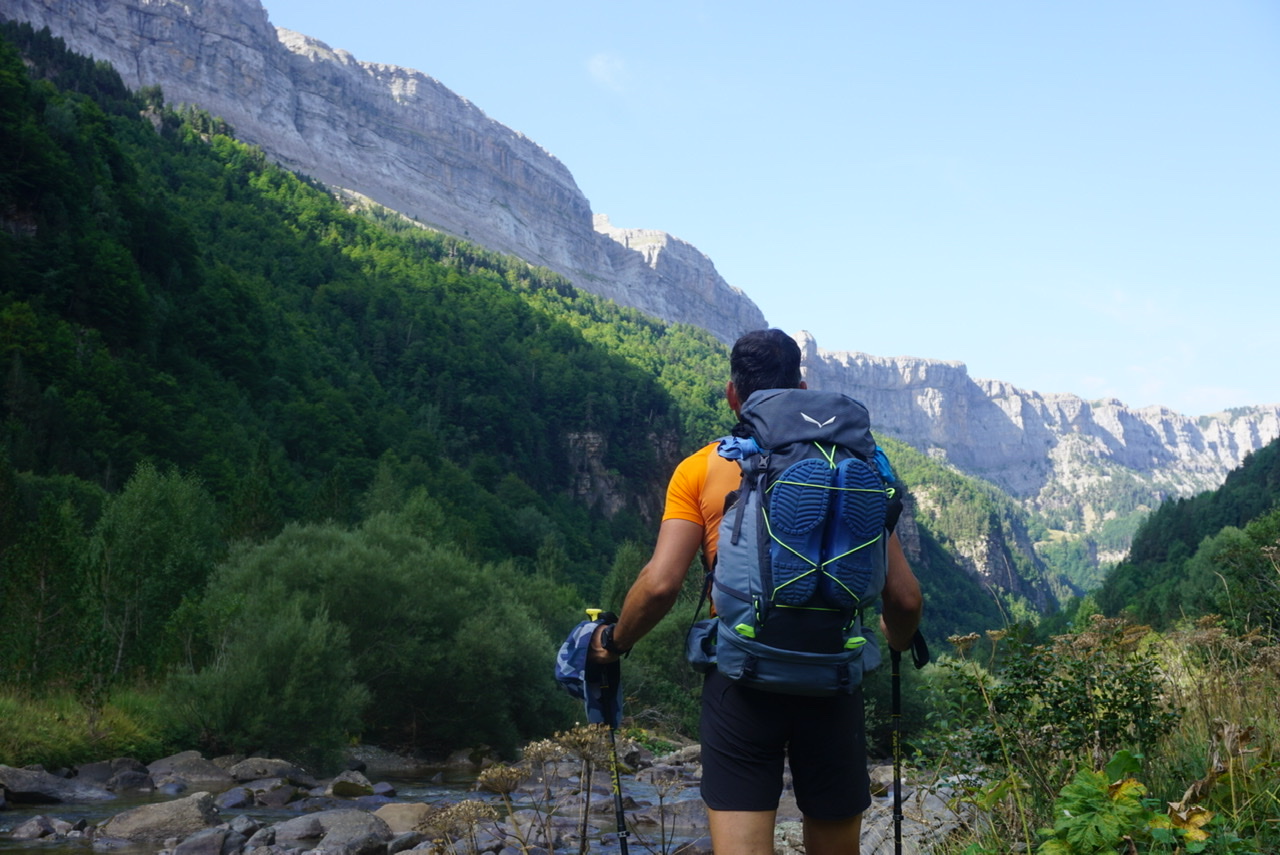
At the end of the 4th day the transition was sudden and filled me with excitement. Real mountains were in front, giving me a little taste of what was lying ahead, the superb Pyrenees of Aragon!
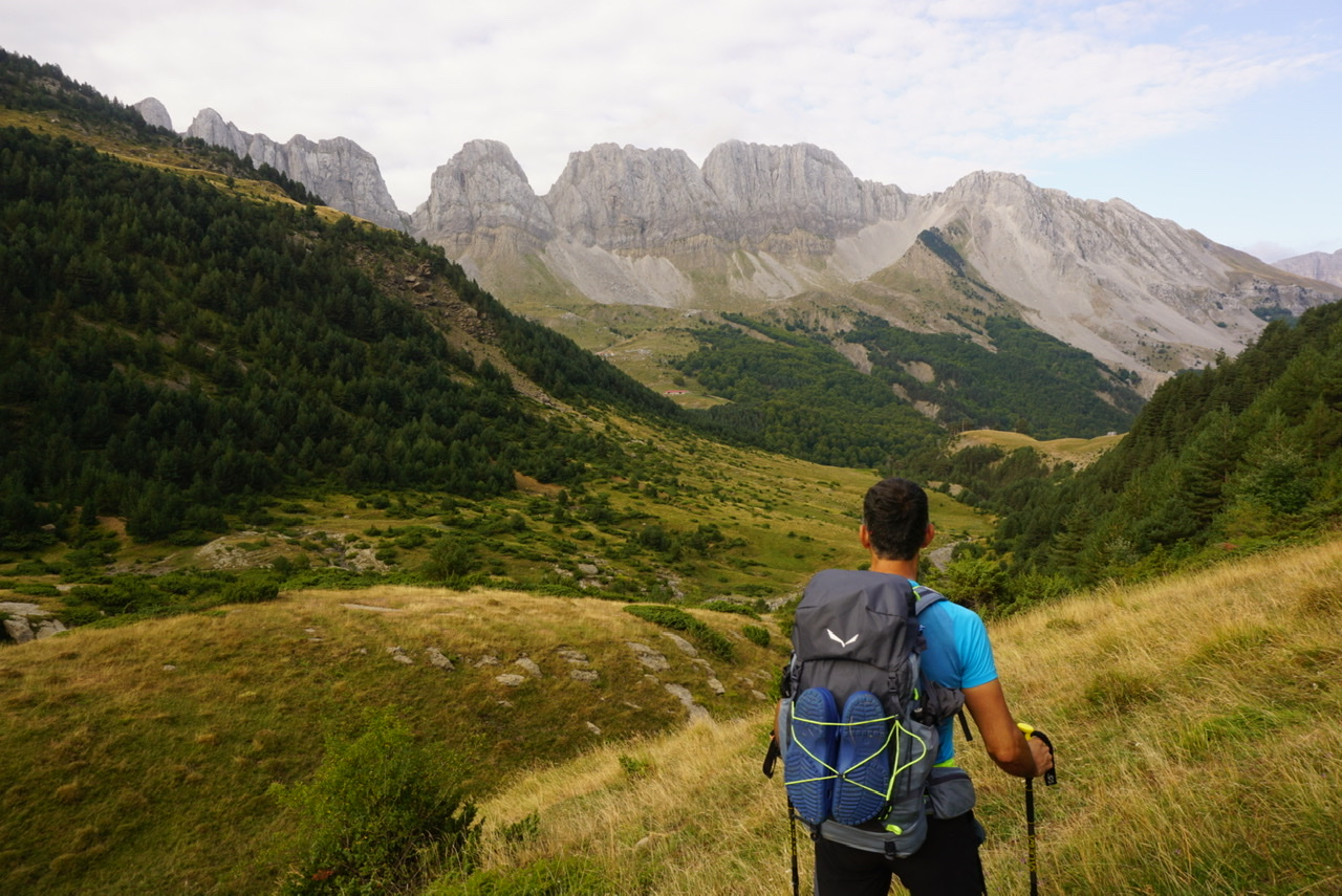
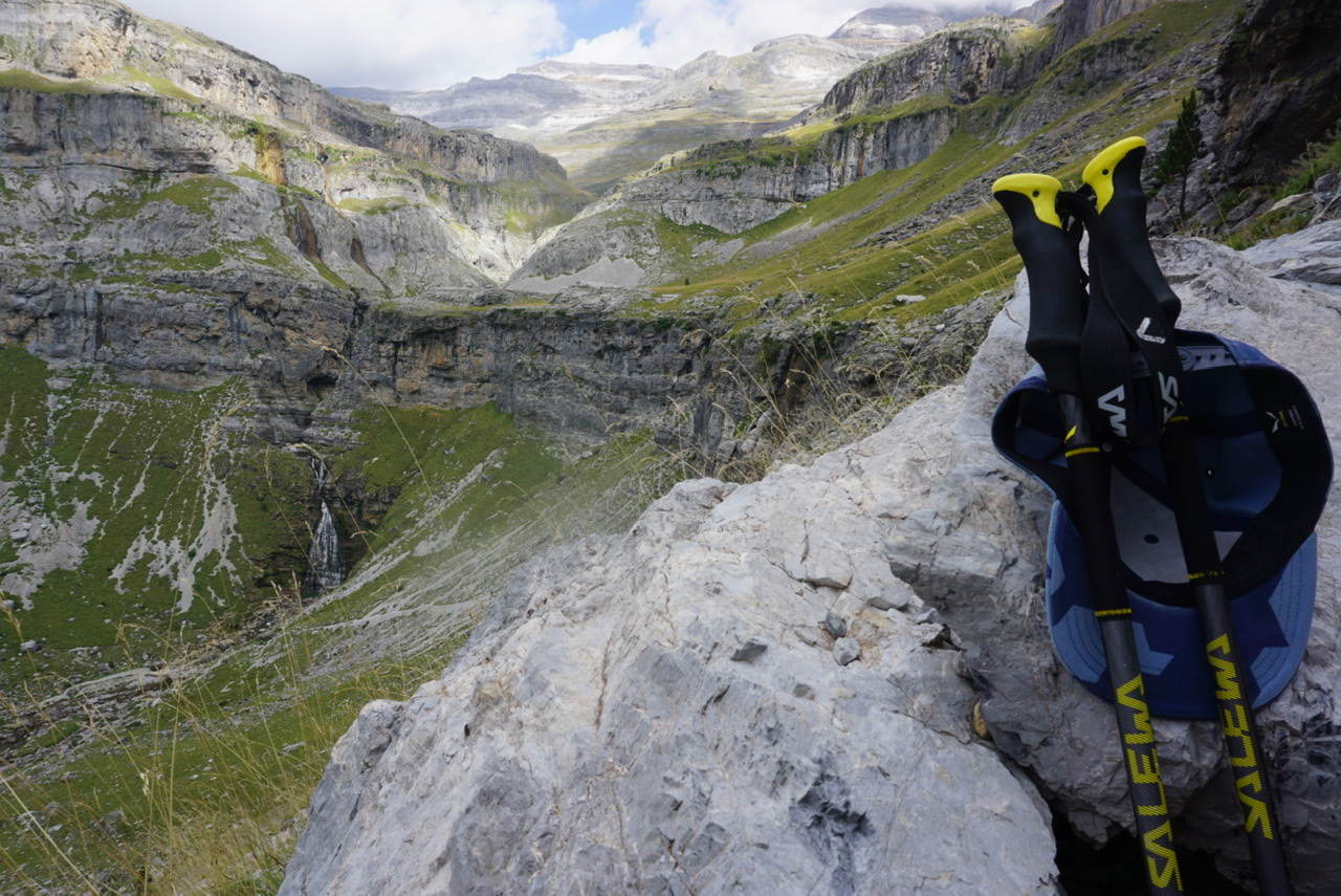
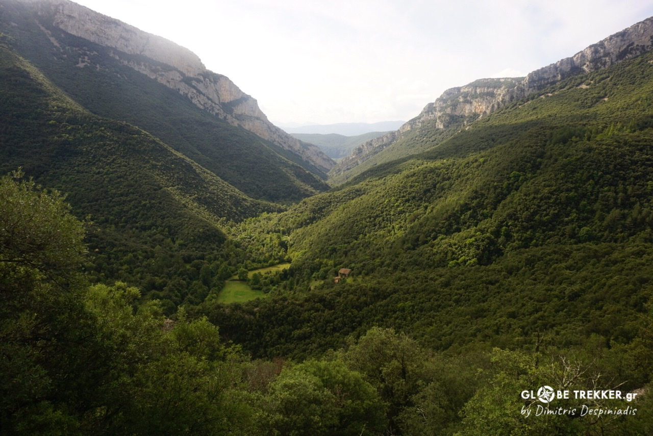
Parque Natural de Valles Occidentales (Aragon)
The terrain was far more interesting, sculpted by glacial activity. Here, limestone was the dominant rock.
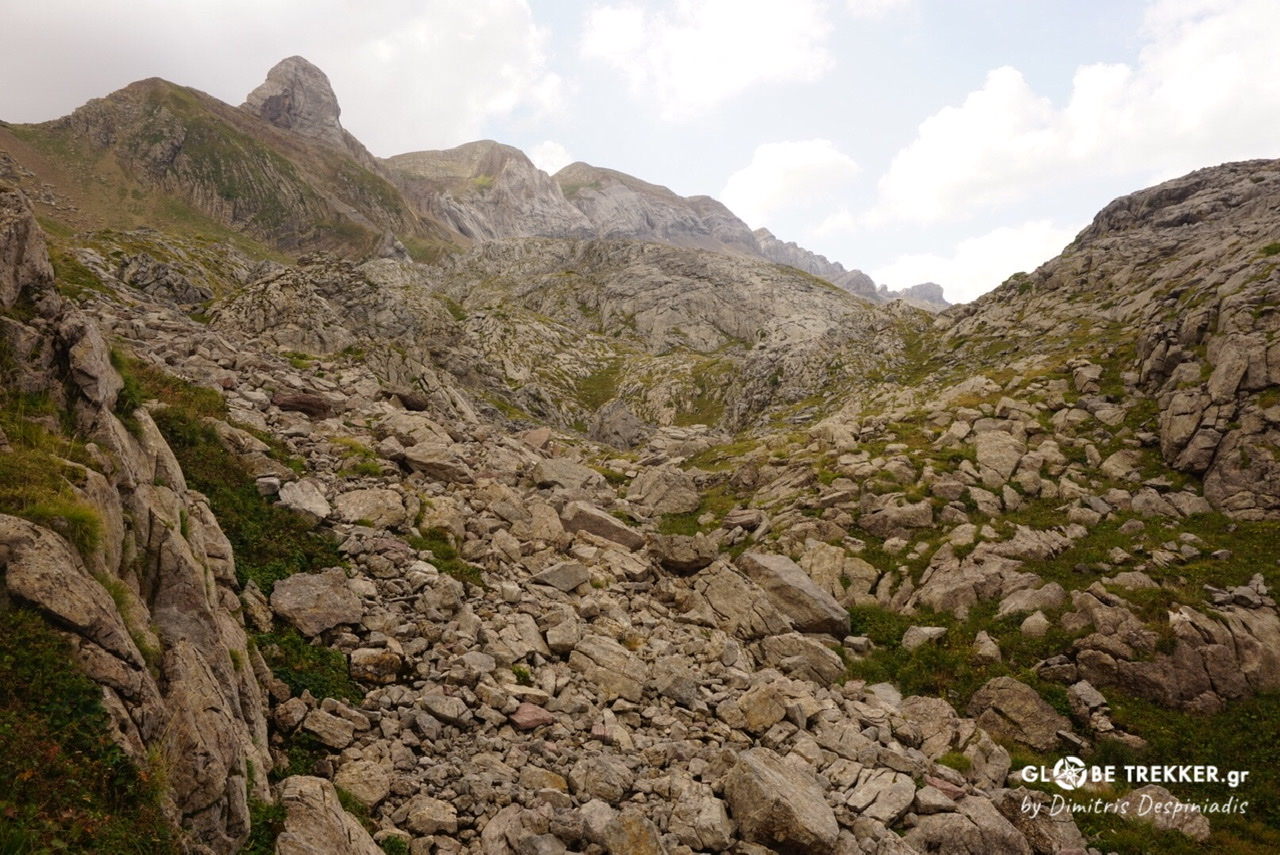
I crossed the green valley Aguas Tuertas, known for its meandering river and its prehistoric dolmens. I passed on to a hidden alpine valley (Valle de los Sarrios). Marmots were showing their presence. I had 9 years, since a memorable trip in India, to hear their distinctive call.
The terrain became alpine..
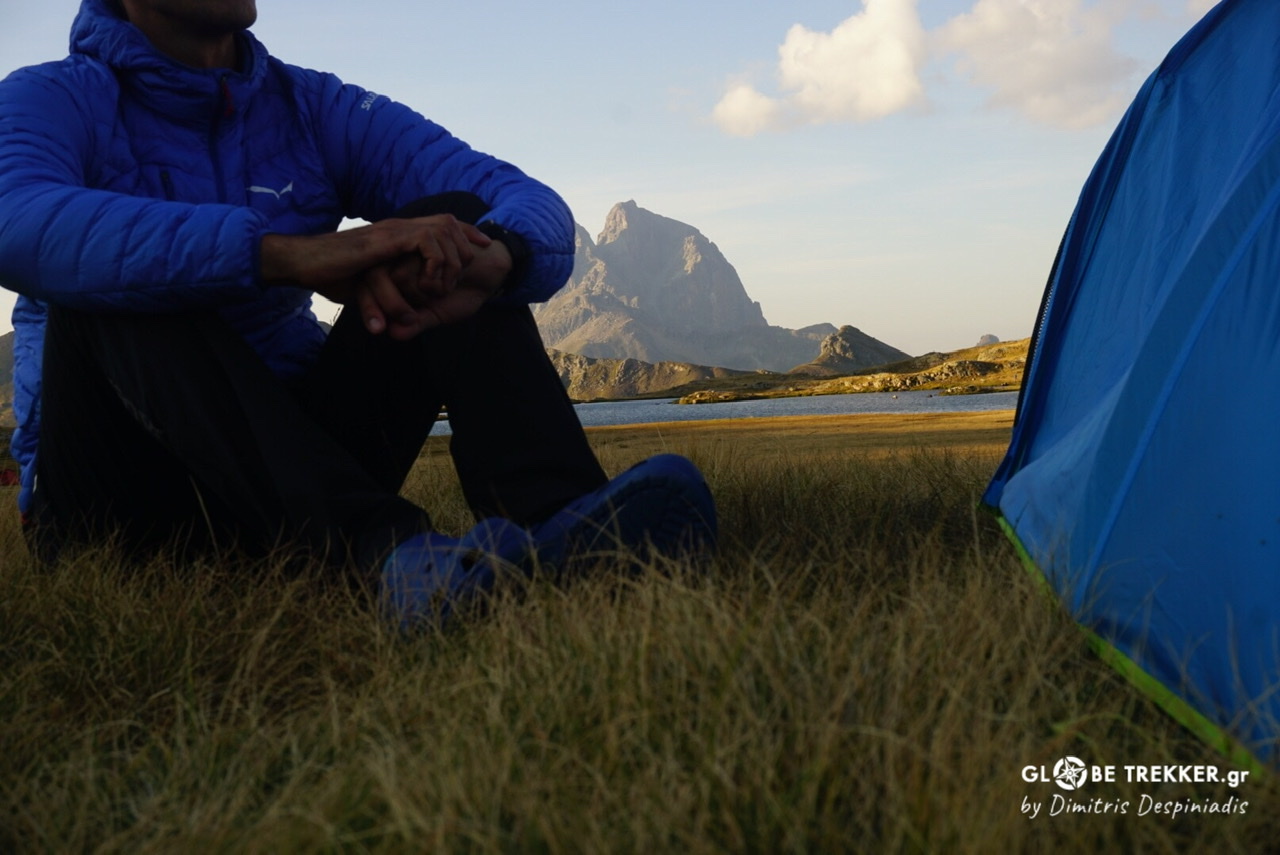
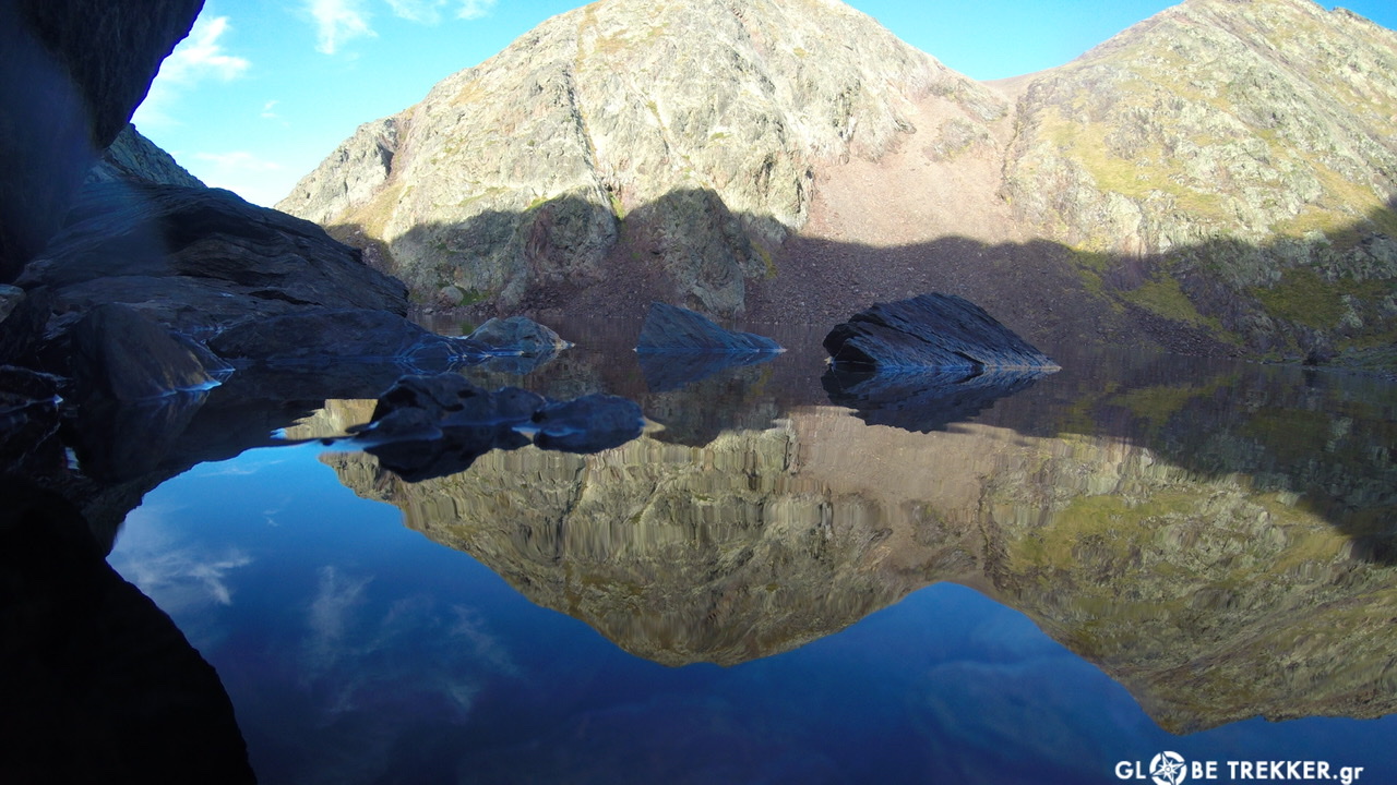
Spending a night at the Anayet alpine lakes, with a view over the “French” Pic du Midi d’Ossau was special.
Collado Tebarrai
7th day.
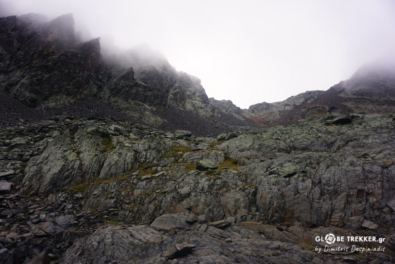
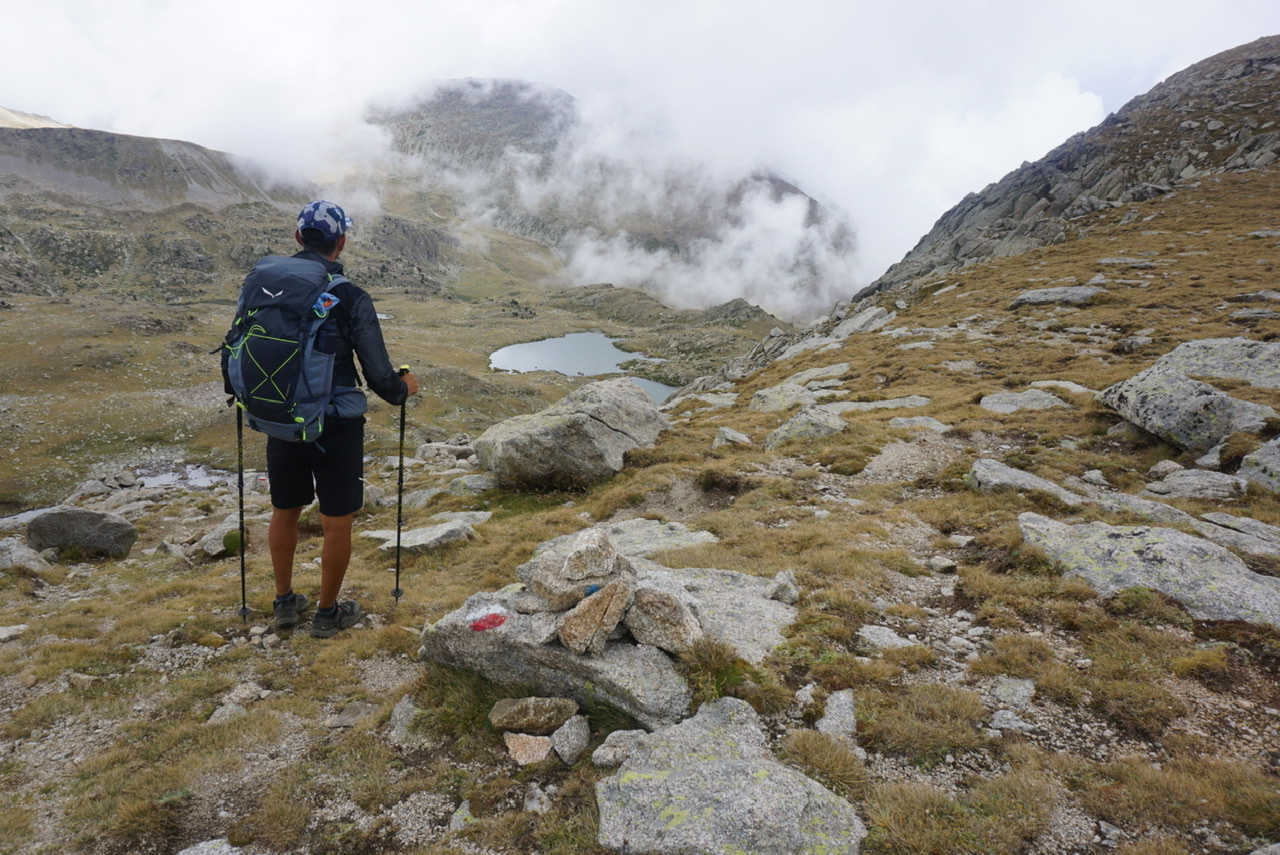
As I was feeling strong and the weather was superb, I pushed in order to tackle during the same day Tebarrai pass, the most demanding of the entire GR11. It was early afternoon when I spotted it, by consulting the map, from a high point.
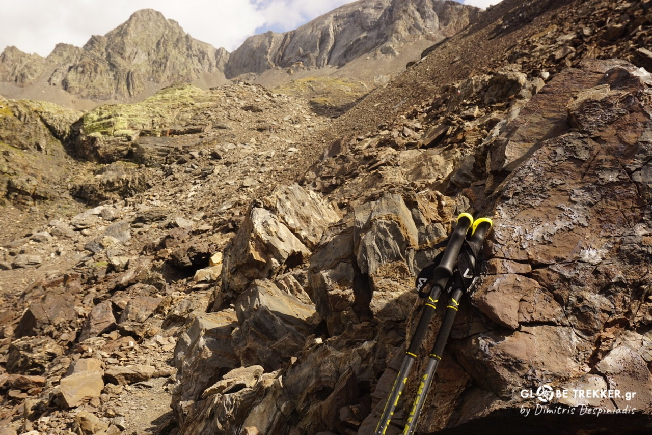
At the base of the gully I saw a -perhaps unnecessary for the conditions- wire rope. I climbed to the top and spent 30’ admiring the scenery.
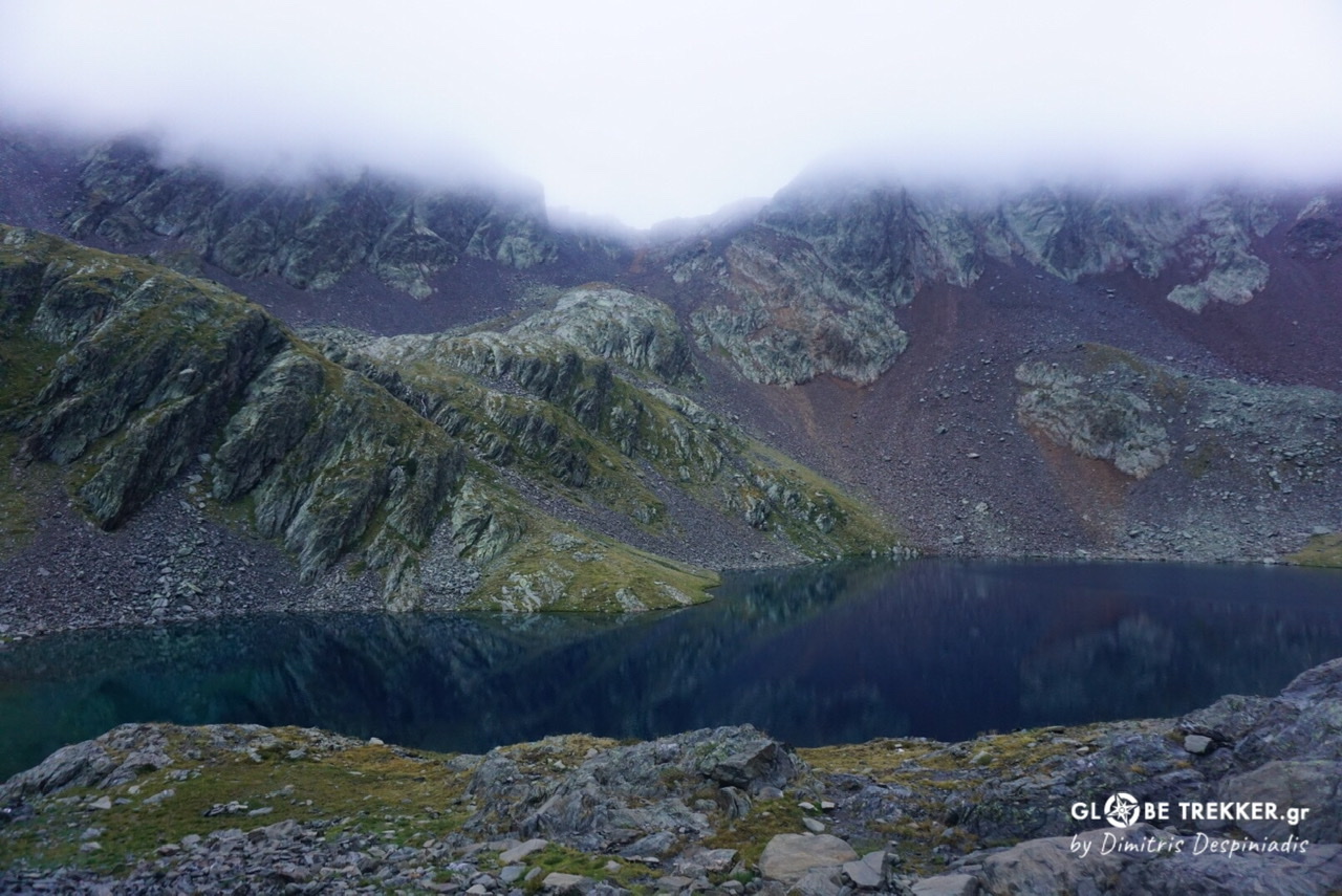
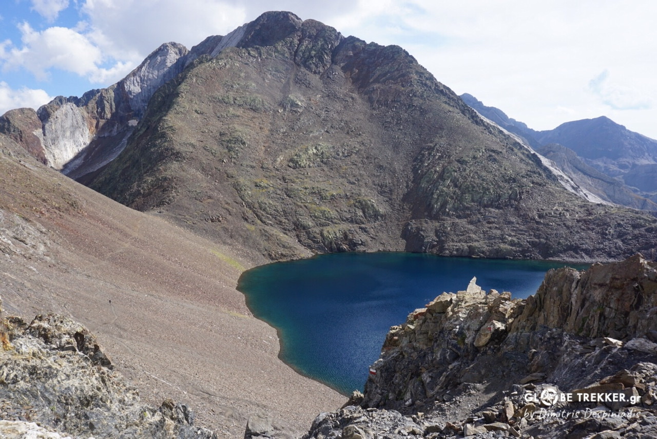 I descended from another gully and traversed above the glacial lake of the same name (Ibon de Tebarrai ) towards the next pass ( Cuello del Infierno). From there, a brutal descent on extremely broken ground led me to another lake.
 I pitched my tent there, but a bit higher on the slope, to avoid the humidity from the lake.
The night was calm and my tent in the morning totally dry. Two Spanish mountaineers had camped less than 150m away but lower and next to a bog. As I was told the next morning, they had an uncomfortable night with serious condensation issues.
I am just mentioning that to show the importance of campsite selection for a good night sleep.
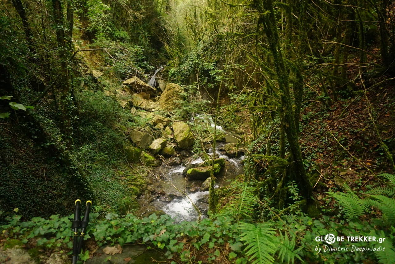
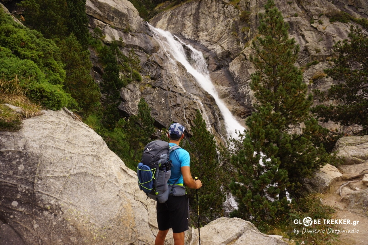 Waterfall on Calderes river.
I descended through granite scenery to Bachimaña hot springs, where high-end facilities are located. Instead of a spa, I was satisfied with a coffee at the nearby refuge and headed towards another tough pass, the Cuello de Brazato (2566m).
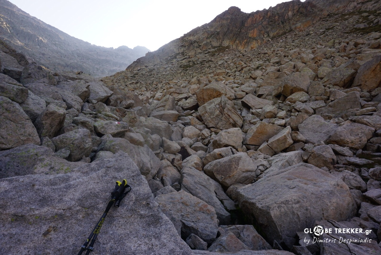
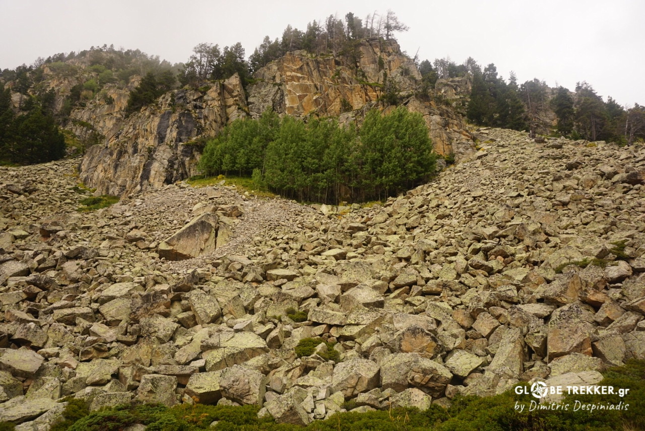
I cannot tell how much I enjoy traveling through extensive boulder fields, jumping from one to the other.
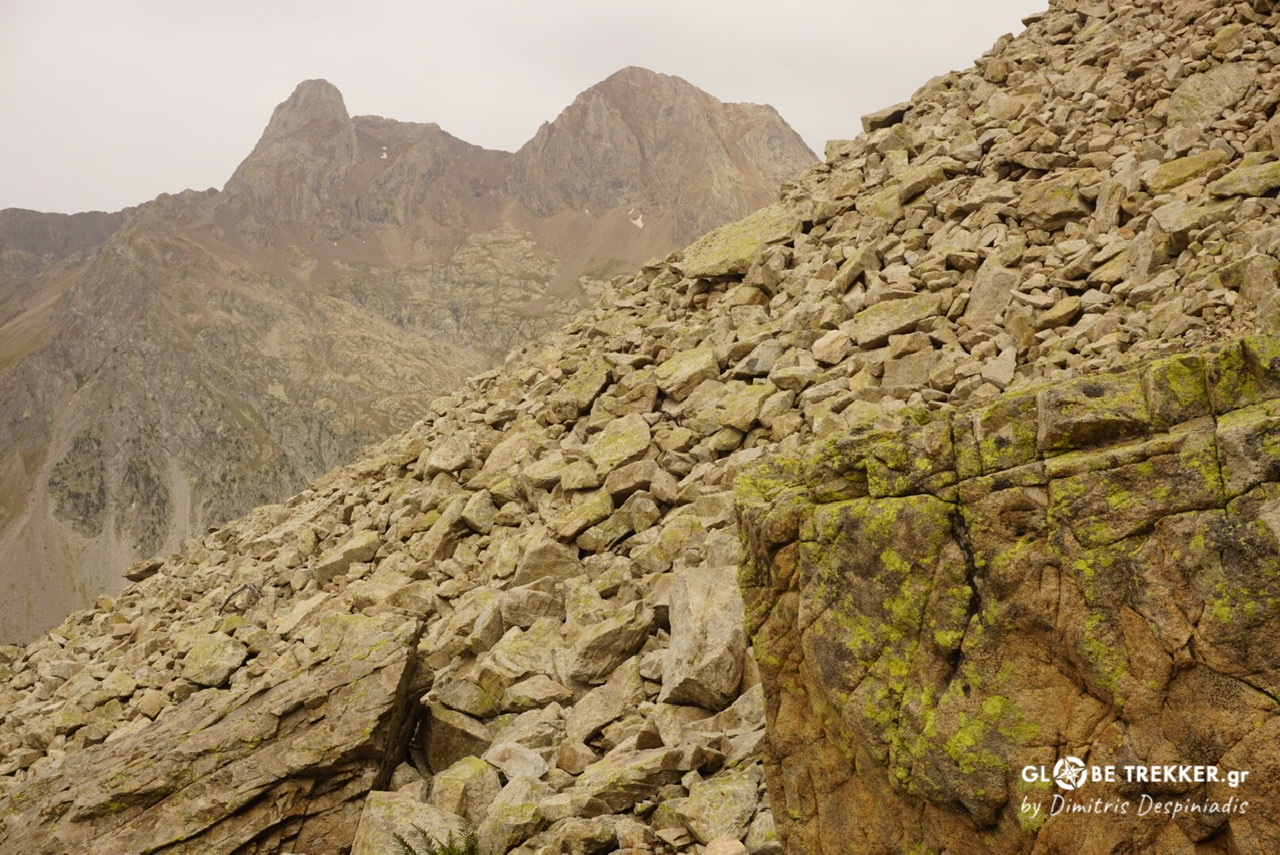
Wild, rugged and beautiful, it’s by far my favorite type of terrain, necessitating 100% of your focus. That one in particular was stretching for a few hundred meters of altitude difference. I passed the Ara river many times high up, where it’s just a stream. At the bottom of the valley, where it gains a lot of volume, it would have been a totally different undertaking.
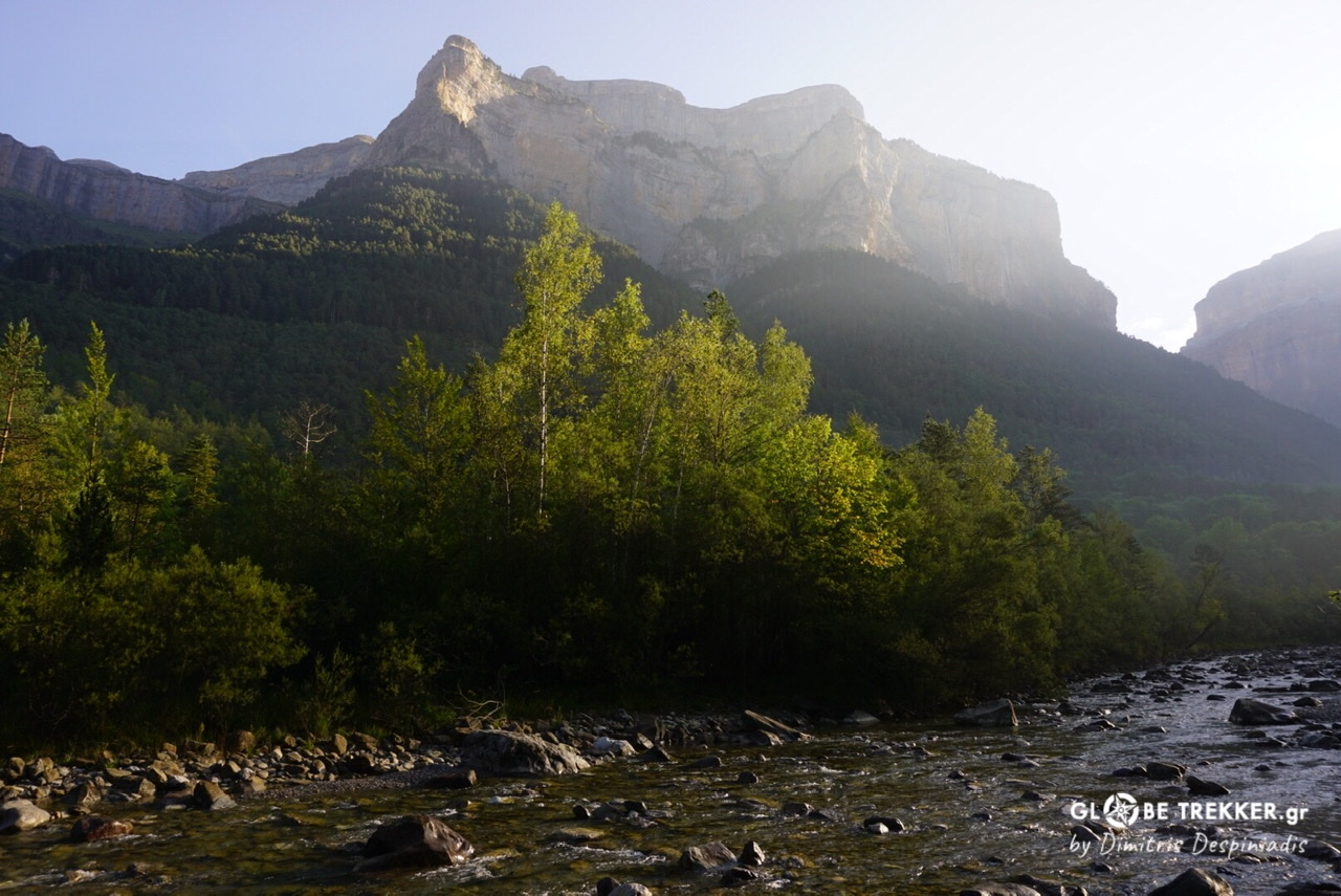
I reached a medieval bridge and headed, through meadows and mixed forests of beech and pine, towards a world class natural wonder.
Parque National de Ordessa y Monte Perdido (Aragon)
The aforementioned National Park, a “UNESCO World Heritage Site”consists of 4 deep valleys and Monte Perdido (3355m), the largest limestone massif of Western Europe. Impressive gorges, thundering cascades and waterfalls, alpine meadows, dark forests, glaciers, carst landscapes, all sculpted by the power of time and water, attract way more visitors than any other part of the Pyrenees.
But even in such a popular (touristy) natural wonder, there is always a way to avoid the masses. At 06:30, I was already on my feet and enjoyed progressing through the dark, silent forest.
The sun appeared, illuminating the canyon’s walls and heating the earth. Mist evaporated.
The paths at the lower altitudes were “luxurious”, but I can admit that these man made features were not too intrusive -for such a popular place- and blended with the landscape.
I climbed above the walls to Goriz refuge.
Goriz refuge
Wild camping is forbidden inside the National Park, with an exception for GR11 walkers -a minuscule part of the visitors in total- who are allowed to camp in two places. Right next to the Goriz refuge and between Arrablo and Añisclo passes.
According to the forecast an electrical storm would hit during the late afternoon hours and the following day the weather would be much more unstable with the possibility of storms throughout the day. I concluded that I wouldn’t see much if I camped there.
While enjoying a tortilla, I paid attention to the guardian’s advice.
“If you are intending to leave, do not stop before Pineta refuge at the bottom of the valley. The terrain is exposed and not suited for camping in such conditions.”
The second part of the day was more interesting. My pace was fast and the scenery fine with impressive features -like the Goriz tower- that were still visible. I reached Arrablo pass. From there I descended from an -exposed in places- wall and climbed up to the Añisclo pass.
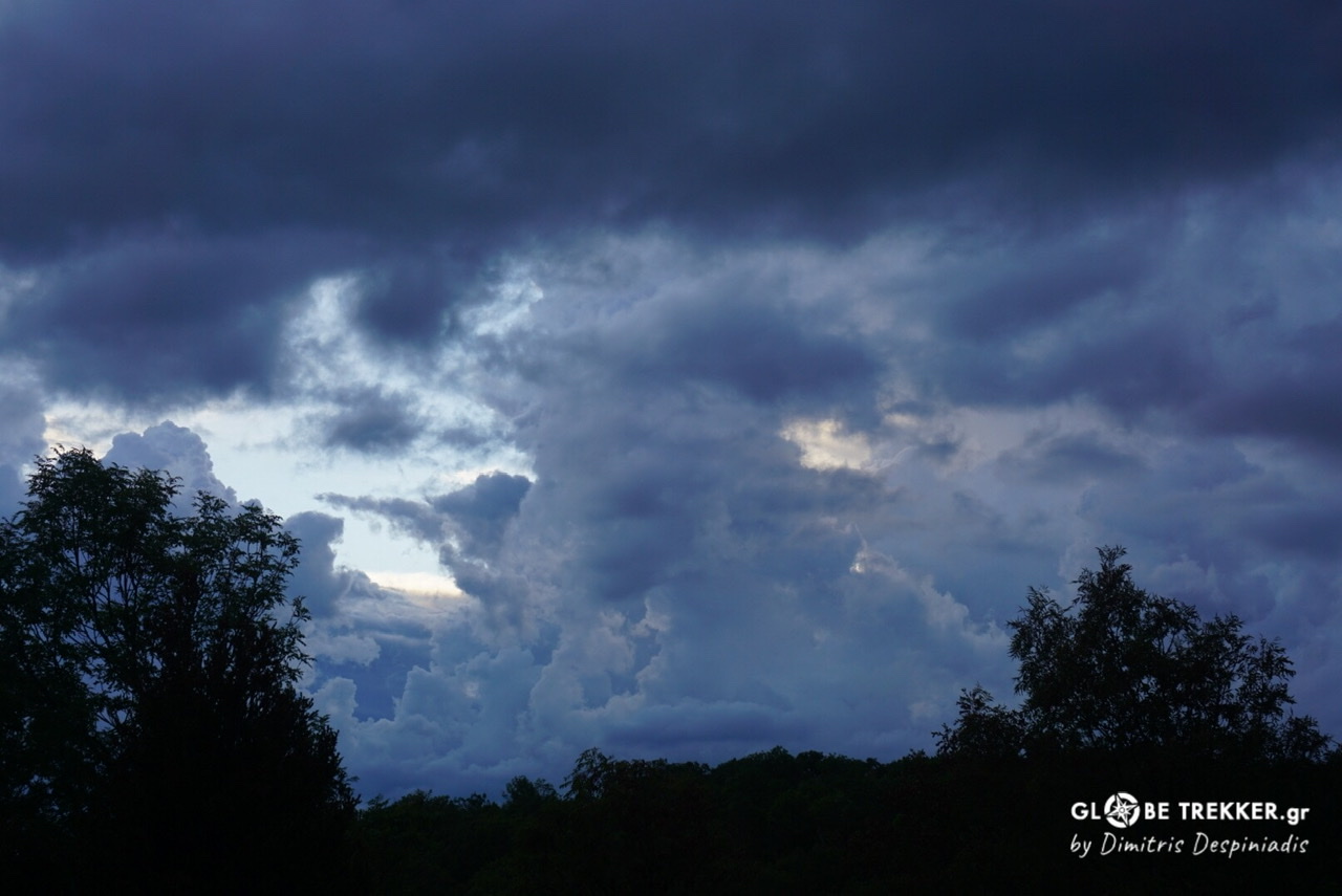
The clouds started taking the distinctive shape of cumulonimbus.
A very steep descent followed (1200m in just 2,5 km) all the way to the bottom of the valley. I met 2 tired backpackers heading the other way and didn’t have to try too much to make them retrace their steps.
The rain started when I was already in the forest but, even there, the descent was equally steep and demanding over wet rock.
The route according to the excellent Cicerone guidebook takes about 8 hours, but took me just 4 hours, something that showed me once more that often-but not always- speed aids security in the mountains.
What an enjoyable day!
The following morning I found the forest “soaked”. I had slept for 10 hours straight and didn’t hear a thing.
The patterns…
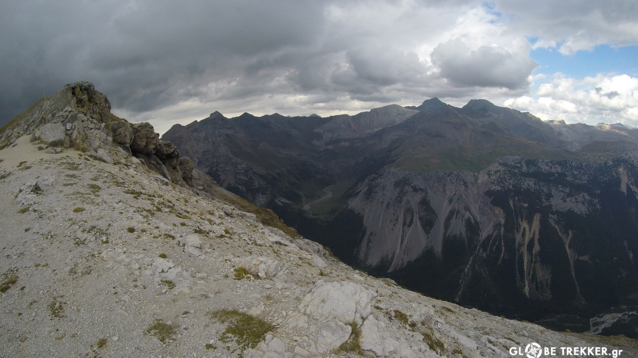
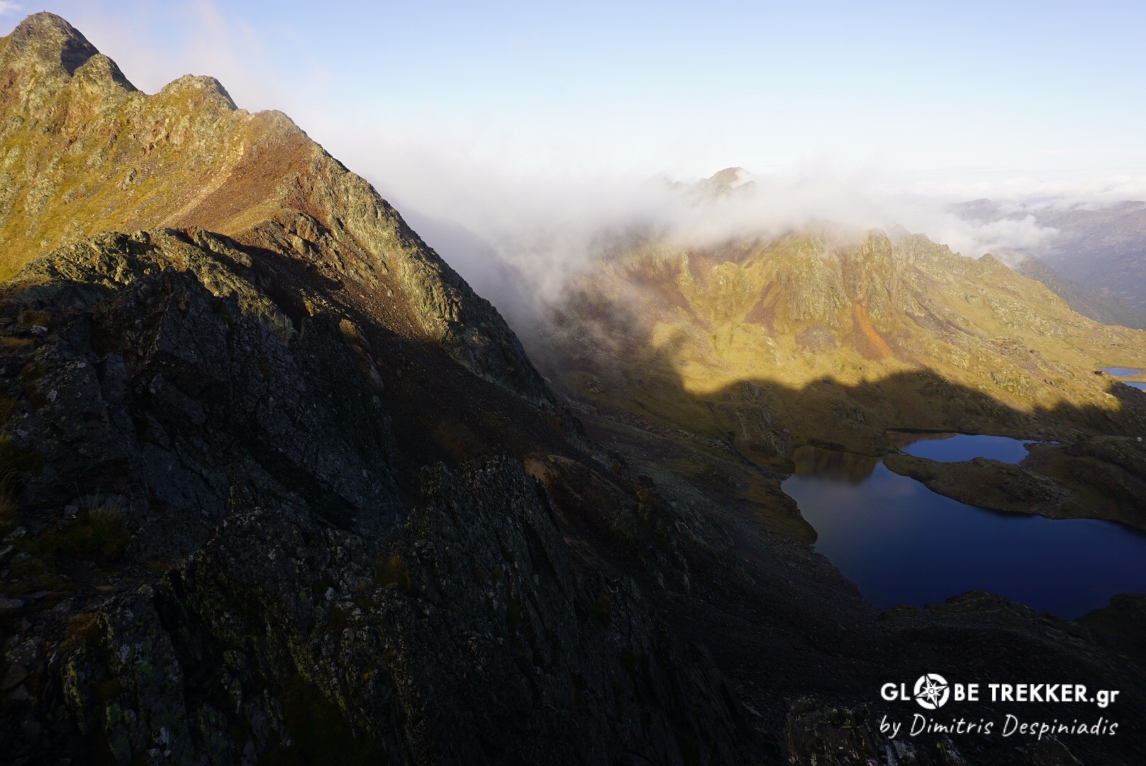
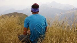
The same weather pattern (sunshine leading to thunderstorms in the afternoon/evening hours), which occurs very often during the summer months in the High Pyrenees, continued for a few more days.
During these days I pushed a little bit more in order to tackle every day’s 2nd pass, something that I thoroughly enjoyed!
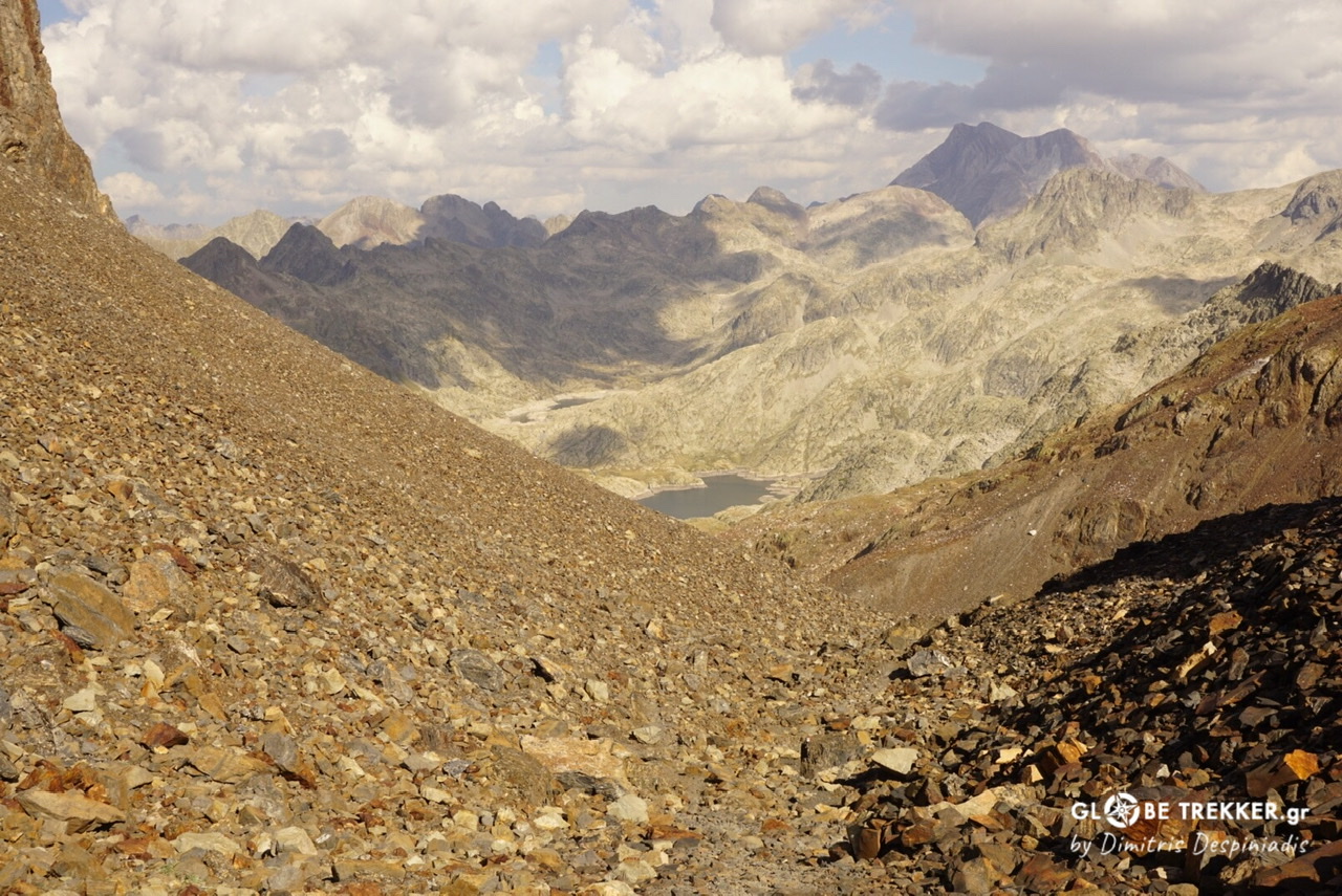
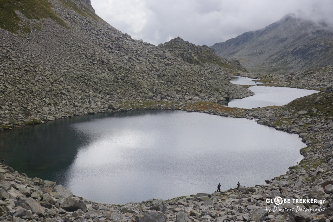
Along the High Pyrenees the GR11 is crossing a series of deep valleys by ascending one valley towards a pass, then descending into the very bottom of the next valley only to ascend to another pass and so on…
Extract from my diary
07:00. I brake down camp. There’ s mist but I hear the cowbells somewhere not far from here.
…
09:00. As I’m gaining altitude I observe how the mist is emerging from the bottom of the valley.
…
11:00. The first pass of the day has already been tackled. I am negotiating now a never ending boulder field. I am “present” for sure. A lammergeier tears apart both the sky and the silence, making huge circles above my head.
I am intrigued by the ease and delicacy of its flight.
I spell something like:
“What’s up flying fellow …are you talking to me?”
…
14:00. Now I am crossing wind blown meadows.The weather looks like it’s holding!
…
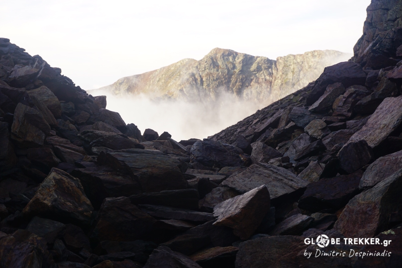
17:00. I climb towards the 2nd pass and enter the cloud which prevents me from seeing the fine topography. My nostrils are filled with the excessive humidity.
It’s a long climb but leads me above the cloud, to an “island” above the “grey floating sea”, the pass and all of the area’s high ground. I spend half an hour to enjoy the scenery and the sunshine, then disappear into the mist way down the other side of the pass.
…19:00. That’s a fine spot. I’ll call it a day.
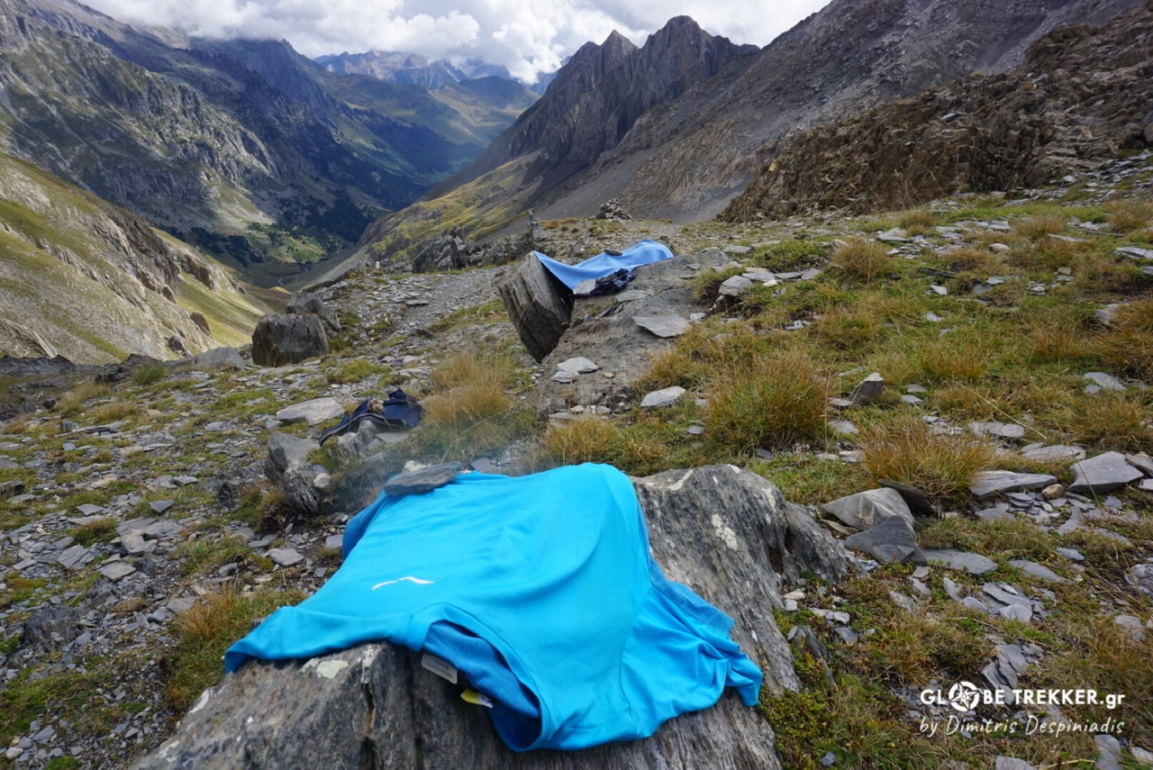 Drying laundry at Puerto de Chistau.
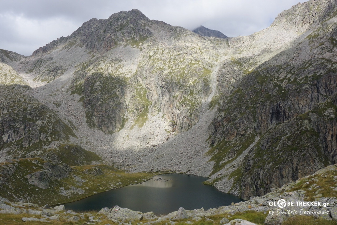
Parque Natural de Posets-Maladeta (Aragon)
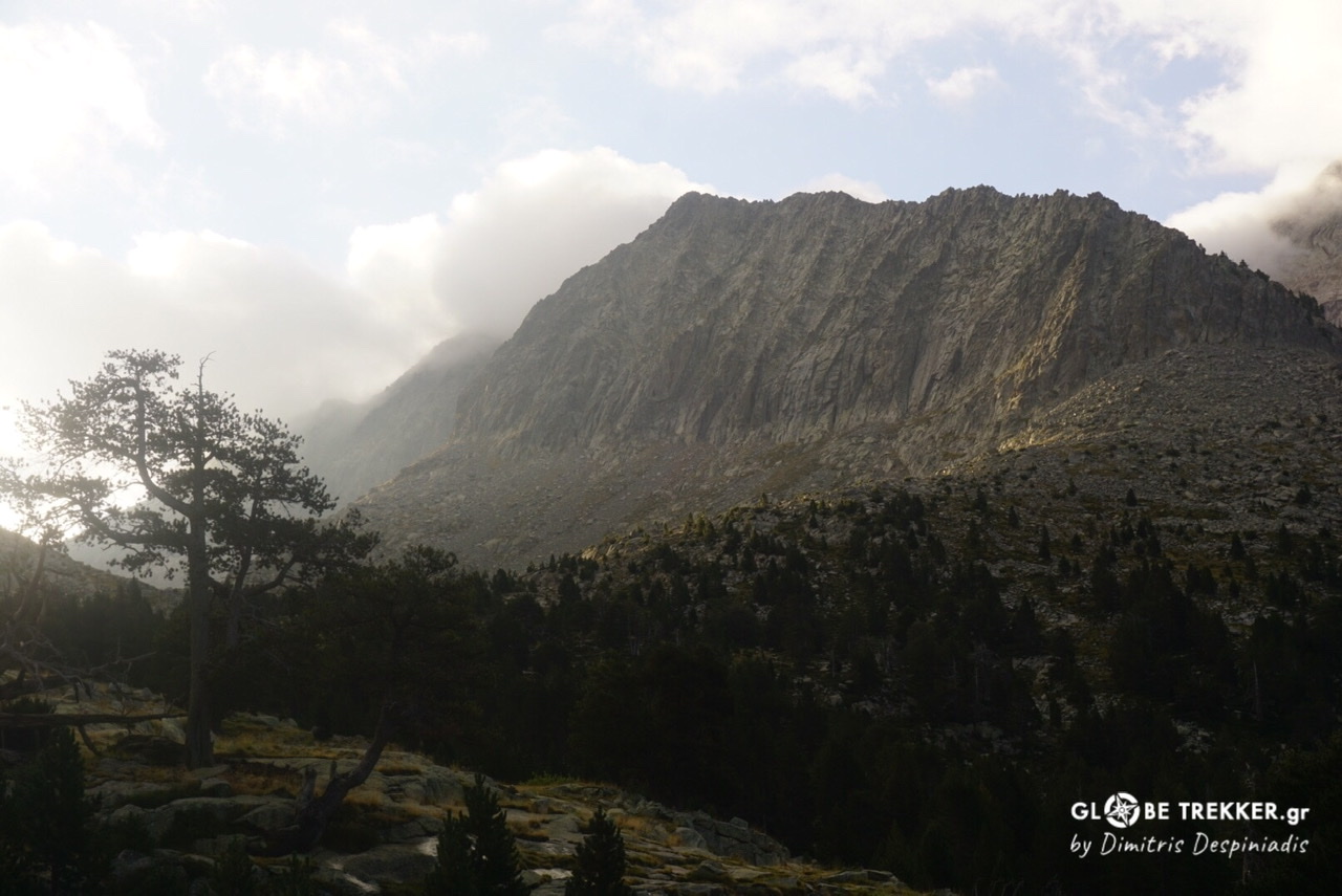
Half of the peaks exceeding 3000m in the Pyrenees are found in this granite massif, including the range’s highest mountain (Aneto-3404m).
I reached its base just before sunset on day 11. A party of four from Burgos were sitting beside the fireplace at the open refuge Púen de Corones. We chatted for a while in my favorite language. They have been there for 4 wet days. I pitched my tent nearby and cleaned myself with water collected from the stream.
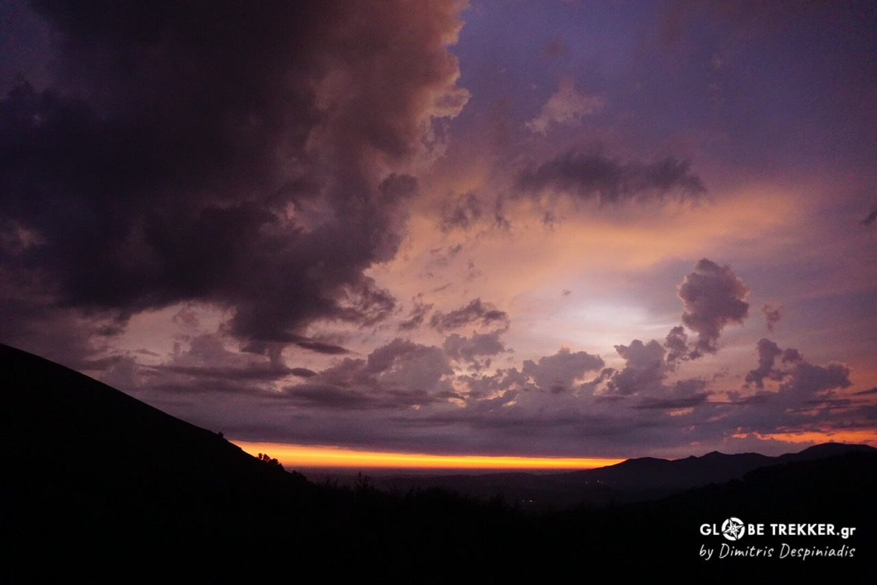
It was a rainy night but during the sunrise the sky took on fire.
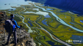
Glaciers are still found in the Park but not for long. Their activity has sculpted a granite wonderland dotted with thousands of ponds and lakes, a scenery that resembles California’s High Sierra.
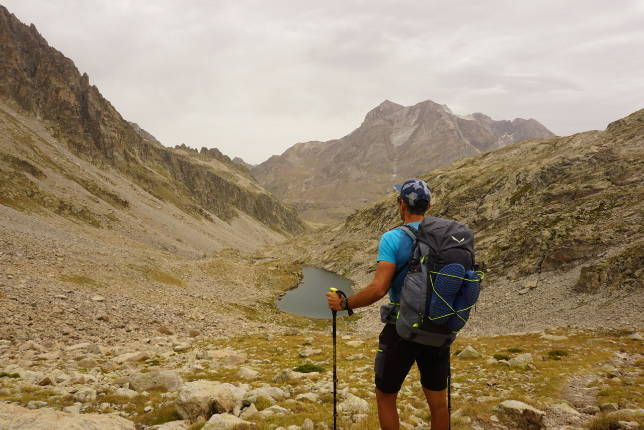
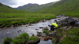
I wandered alongside streams and through extensive boulder fields to Balibierna pass (2732m), one of the route’s toughest.
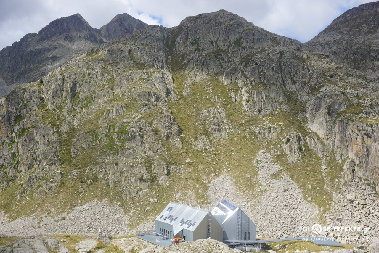
 From there, I descended to the futuristic refuge Cap de Llauset and then, up again, to another high pass. Then, reached the tree line. You get the point.
 It was obvious, just by paying attention to the names of the geographical features, that I have entered into Catalunya and the valley of Aran.
Parc Nacional d’Aigüestortes i Estany de Sant Maurici (Catalunya)
At this equally stunning National Park of Catalunya, I experienced a superb stretch during the afternoon hours. The grey granite blended perfectly with the emerald blue of the lakes. The light was good too.
Silence was dominant, occasionally broken by the wind, the flowing water, the call of a bird of prey or my feet hitting the rocky ground. I was so immersed living it, that I pitched my tent after sunset.
The following morning, after a warming up ascent, I was having breakfast at Restanca refuge. There, I met Sara and Herve, who were also crossing the Pyrenees by themselves.
Sara is from Spain. She lived for a few years in Nepal where she was working in the tourism industry but returned to Spain after the Covid-19 outbreak. Although she can’t wait to get back to Nepal, she was so excited for the experience she was living on the GR11, that characterized it as the most rewarding of her life so far.
Herve is from France. He was -theoretically – crossing the HRP, a High Route across the Pyrenees that mainly follows the border ridge, but due to the weather he had spent the whole week entirely on the GR11. After midday, he was planning to head north to the French town of Salardu.
We walked together for a few kilometers, had a coffee at the next refuge (Colomers) and said “hasta luego” to each other.
The markings that were excellent in the Basque Country, Navarra and Aragon, ranged in Catalunya between inconsistent and non-existent. For once, I didn’t look at the map and headed to a pass that turned out to be the wrong pass and led me to a wild cirque.
Then, I improvised by cautiously traversing a broken slope in order to avoid going all the way back down. After Port de Ratera (2590m) I reached the campground of the ski resort town of Espot, where I treated myself with a shower, two giant tortillas and a local desert (Crema Catalana).
Parc Natural Alt Pirineu (Catalunya)
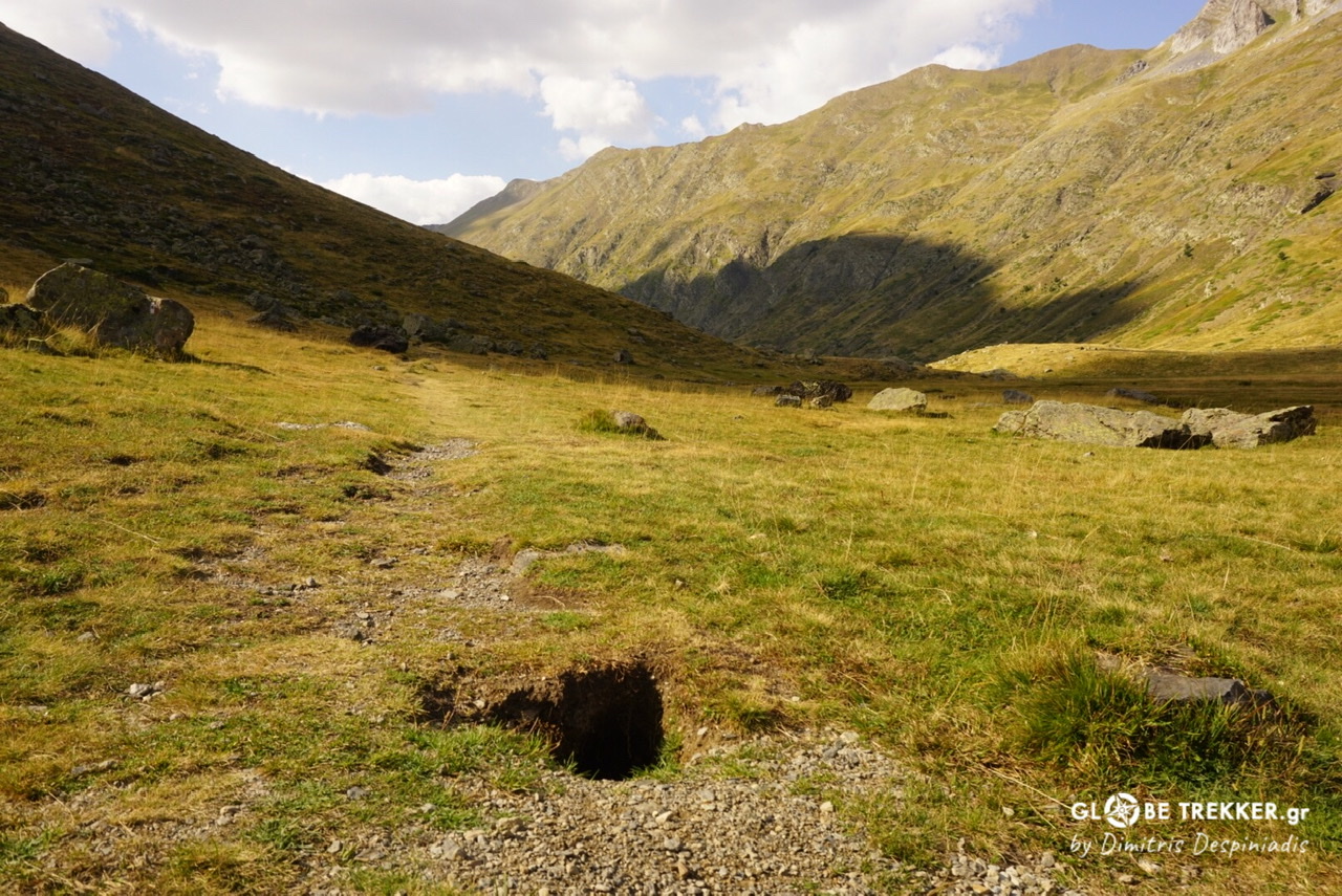
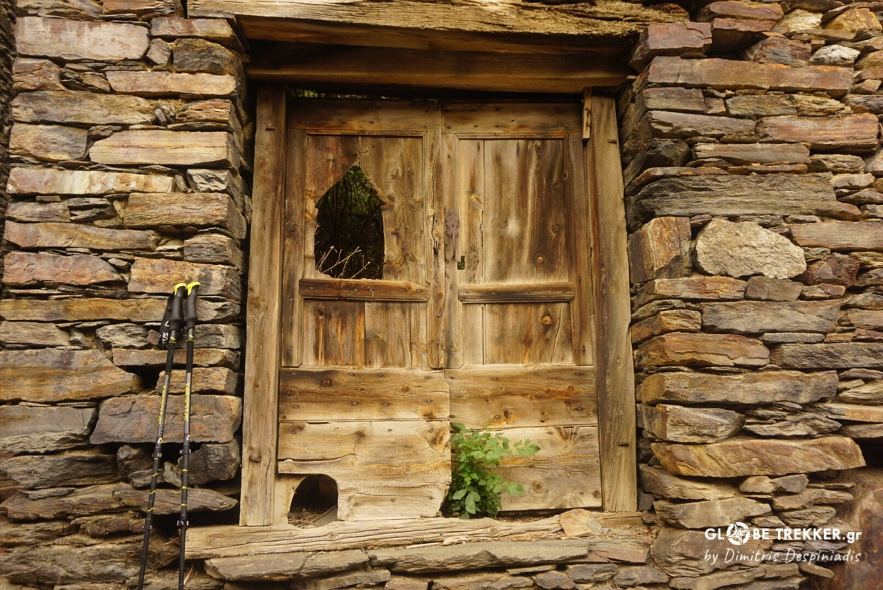 East of Espot, the GR11 is leaving -just for a while- the high mountains and traverses wooded hills and picturesque stony villages. Many of them were deserted, reminding me of the deserted hamlets of Rodopi mountains in Greece.
During the Spanish Civil War more than 700.000 people were killed and 500.000 were forced to leave their lands into France.
I passed once more (just like the first days of the traverse) next to bunkers and machine gun nests. These were part of the “Pyrenees defense line”. (Línea P), that was constructed between 1944-1948, by the order of Franco.
More than 4500 fortifications structures were made, mainly by workers battalions, throughout the Pyrenees. Its purpose was to stop a possible military invasion from the north and to define the cultural and especially political confines of Spain.

Here in Catalunya and the Western part of the Pyrenees (Basque Country and Navarra), where the passes are more accessible, these fortifications were built at regular intervals. On the other hand, in Aragon this was not a necessity due to the wilder topography.
Baiau Emergency shelter
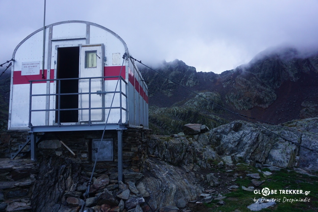
15th day.
Baiau emergency shelter is bolted on a knoll amid spectacular mountain scenery just below the pass leading to Andorra.
It was raining hard when I arrived at this special place where I was intending to spend the night. The sky was dark although, officially, the sun would set after 2 hours. I reached the knoll and opened the little metal door .
A backpacking couple was sleeping inside .
Diego and Anna are from Switzerland and were crossing the GR11. It was actually day 32 for them on the trail, but were thinking of quitting (they did quit actually) as Anna had issues with her hip, which was getting worse.
They met each other in Lahore (Pakistan) and decided to quit their jobs in order to travel the world for a few years. They didn’t look frustrated with the Covid-19 situation.
“Where next?” I asked .
“Somewhere with a warmer climate. Perhaps Mexico. We’ve heard that Covid-19 restrictions are not so tough there.”
We talked about our favorite subject (travel) and lied on the “claustrophobic” bunk beds, while the wind was hauling outside.
Parc Natural Valls de Comapedrosa (Andorra)
 Mist was thick the following morning. I initially descended through boulders to a lake and then climbed to the pass of the same name (Portella de Baiau). The views were spectacular!

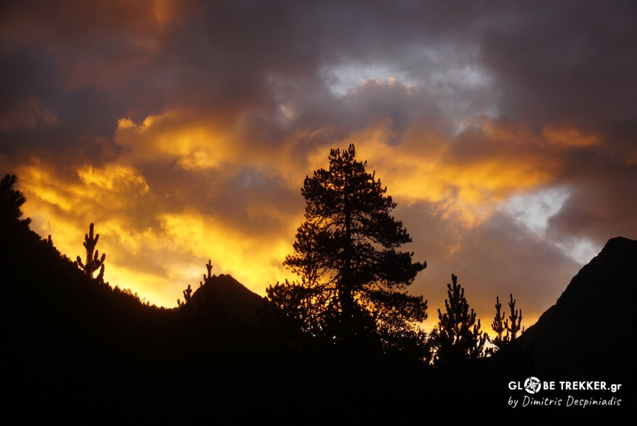
Comapedrosa, Andorra’s highest summit -that I had passed through 5 years ago- was a stone’s throw away through the northwestern ridge. The mist cleared and a beautiful day started.
I camped that day at a clearing in the forest. I sat back and relaxed, watched the clouds becoming orange, then observed and even … heard the fluttering of the birds. I felt totally connected with my surroundings. It was just magical.
 Actually, the first thing that comes into my mind from the trip are these “zen” moments in the forest.
During the night a wild boar approached my tent but soon run away.
Eastern (Mediterranean) Pyrenees
I exited Andorra to the east on a fairly misty and rainy day and didn’t see much of the beautiful Madriu valley.
Parc Natural Val de Madriu (Catalunya)
I decided to spend the night at the stuffed refuge Malniu (2138m), just for the experience. The wilder, central part of the range was over.
As there were very few visitors, I chatted a lot with the wardens about the Pyrenees. Dinner was excellent, especially the chickpea soup.
Day 19 was the shortest as a storm broke loose at midday. I was aware of the forecast, so I arrived in time at Nuria, where I camped.
Nuria is a symbol of great historical and religious importance for the Catalans. I have to admit that I found the whole complex (sanctuary-hotel -restaurants- shops- conference area- ski center) more like a mall that didn’t fit at the heart of the valley.
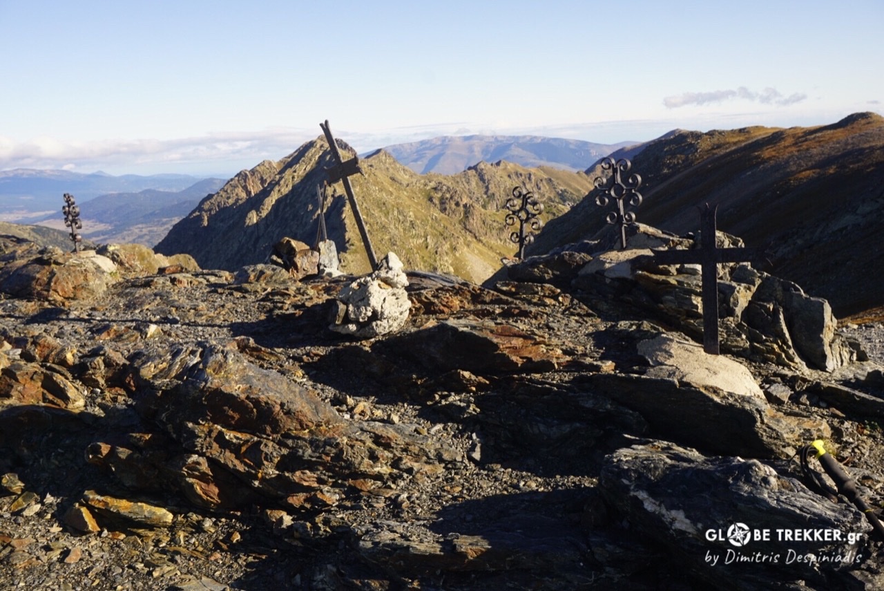
The night was the coldest of the whole crossing and the following -sunny-morning ice had formed in places along the ridge. Curiously, the highest point of the GR11 is passed during this ridge-walk (2780m) and not in the High Pyrenees. But these mountains were far from wild.
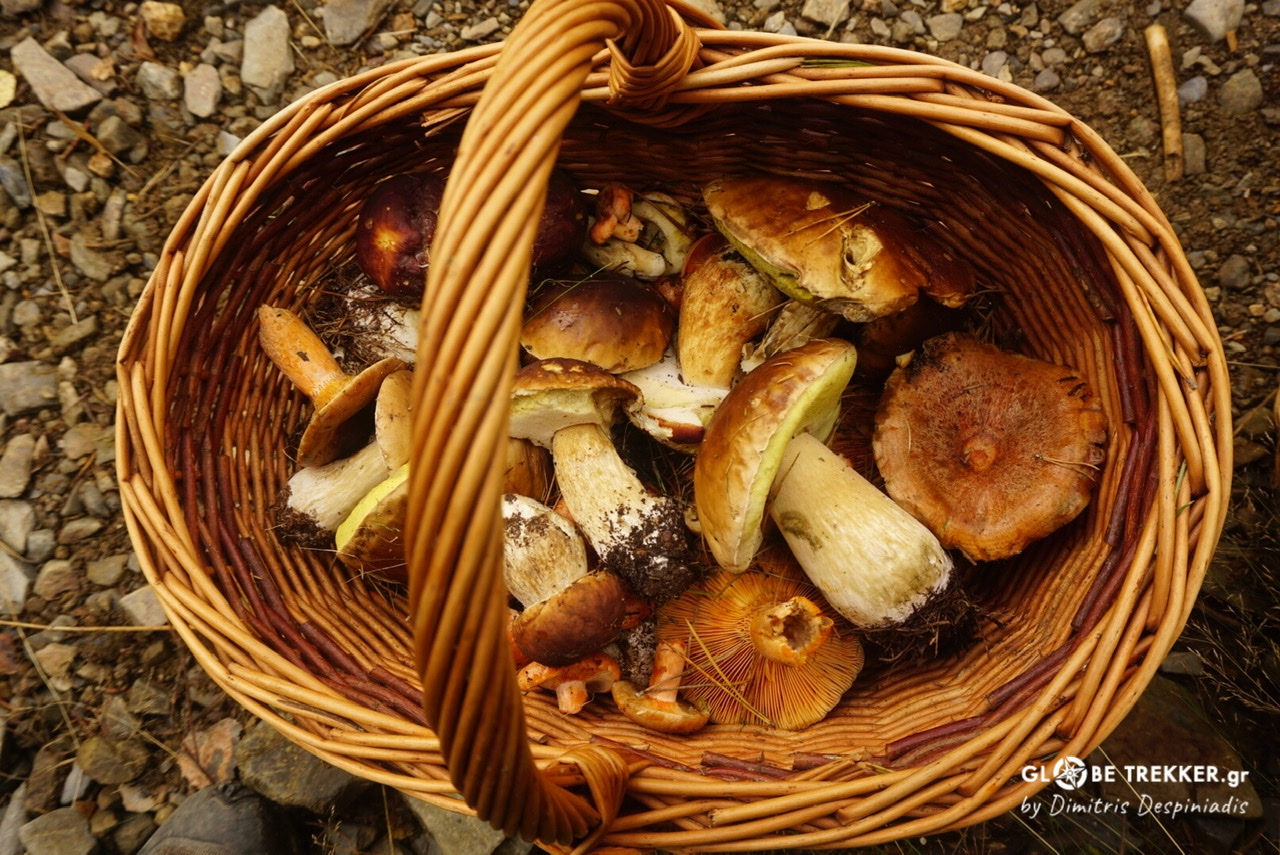
I descended ~2000m to the village of Setcases. The day was Sunday and a lot of people were collecting fungus from the forest. They were everywhere!
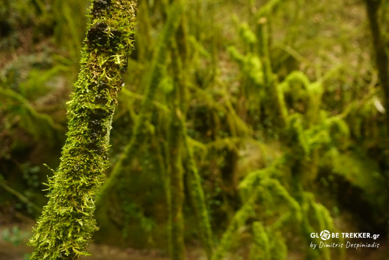
From there, the GR11 follows a series of steep wooded hills all the way to the Mediterranean coast. The thing that I enjoyed most on that section were the very dense dark forests.
A young couple approached me, as I was collecting water from the source at Sant Aniol, a chapel hidden by lush vegetation. They were renovating the old nearby refuge. They informed me that from now on good quality water – which was abundant till now- would be hard to find. They offered me nuts and a big chunk (nearly the half) of a huge chocolate. My body absorbed the sugar … immediately.
Bassegoda was the last mountain.
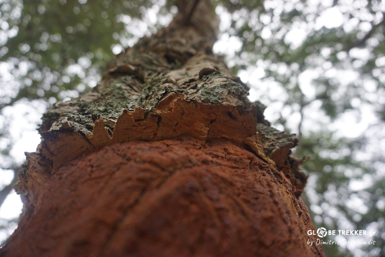
The 22nd day could be described as “Cork tree forest day” as I was crossing the exotic forest for the entire day (~40km). I have never seen such an oak tree before.
The day ended near the noisy border town of La Jonquera.
It was obvious that I was really close to the shore. I reached the coastal town of Llanca and the following morning another one, Port de la Selva. There, the air was warm, the dominant color was white and windsurfers were riding the waves.
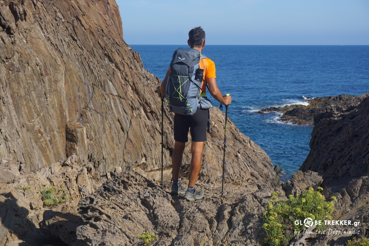
Cap de Creus peninsula

Day 24.
During the last kilometers my feet scratched the sun beaten soil, waving through dry bushes, lonely pines and rocks of volcanic origin. My eyes -after all these well spent days in the Pyrenees- wandered, not on the ridges or the depths of the valleys, but at the infinite, eternal blue.
I took off my backpack and sat on the rocks. I remembered that I was carrying a dark chocolate.
Well , it was really good. Both the chocolate… and the experience! 😉